The following descriptions are a brief introduction to the main routes in Mount Kenya.
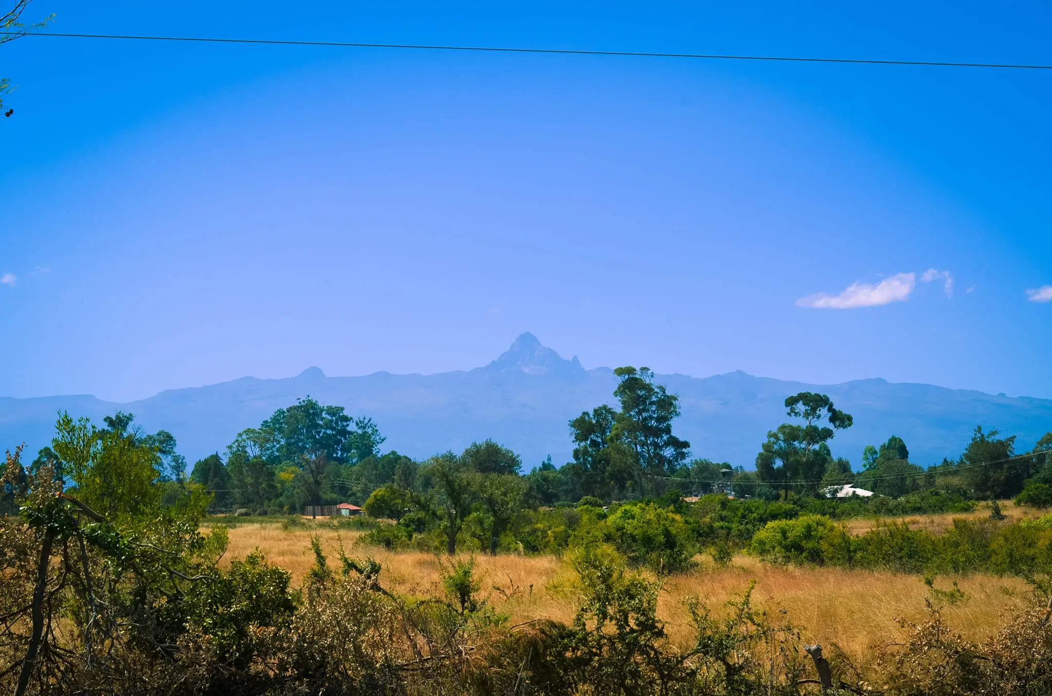
Mount Kenya has three main peaks, the two highest are highly technical (Batian and Nelion) and are rarely climbed in comparison to the third peak called Point Lenana which is a trekking peak. Other peaks on the massif also present interesting rock climbs.
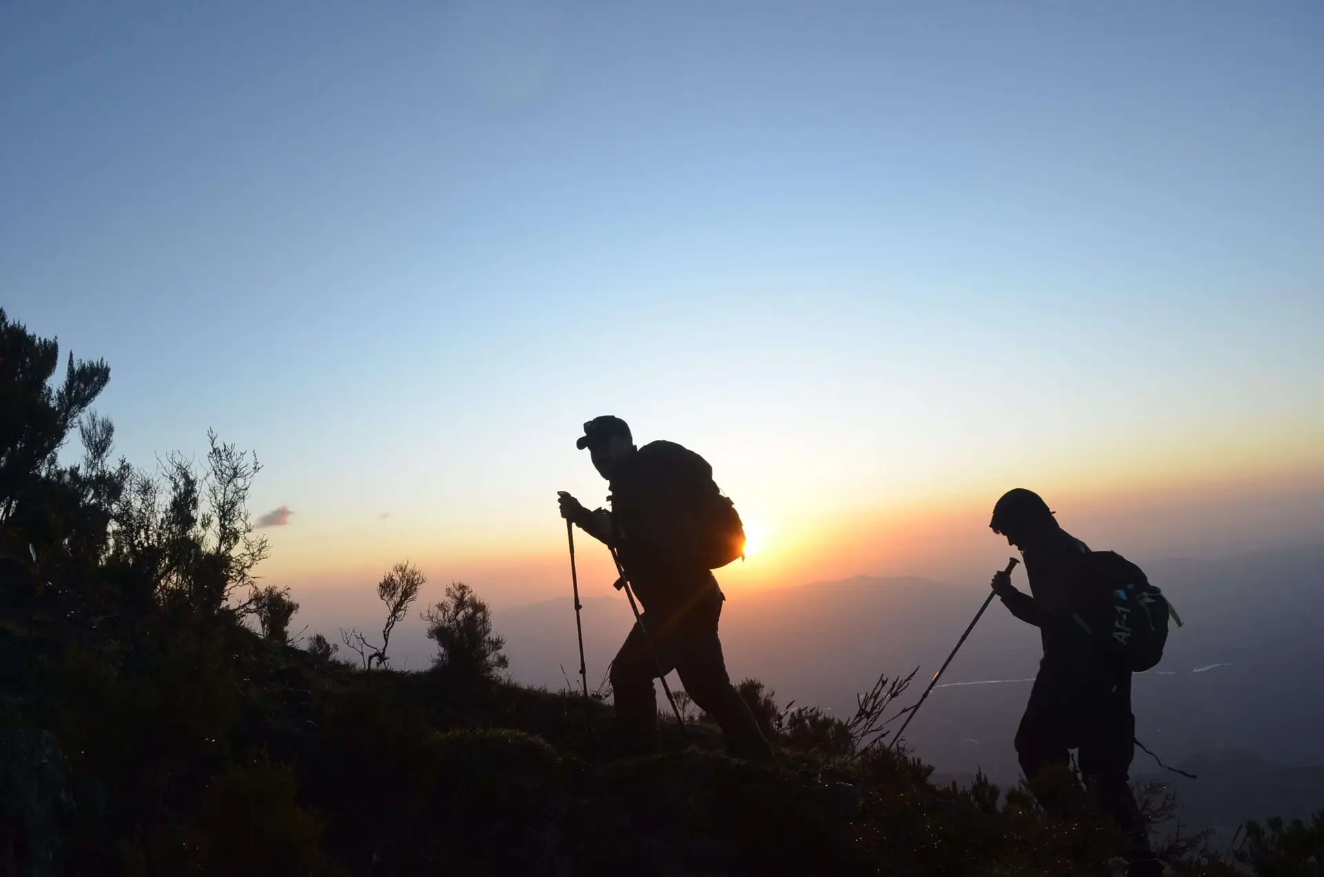
There are three main routes on the mountain that cater for 90% of all trekkers visiting the mountain- Naro Moru to the West, Sirimon on the North West and Chogoria on the South East. Most people go up and down a combination of these three. You can camp or use huts on all three and the trek is normally 5 days to go up to Point Lenana and back down again.
There are a further five routes which are much less climbed – Burguret on West, Timau on the North, Meru on the North East, Ithanguni on the East, and Kamweti to the South. These are all wild camping and the National Park often requires Rangers to attend a group because of wild animals. These routes don’t have official park gates, and route finding is much harder.
Access is good to the mountain, there is a good road from Nairobi and the journey is about four hours. Most people use Naro Moru, Sirimon route and Chogoria town or Embu as their base on the east side.
Mount Kenya is an extinct volcano with just one central vent. The main peaks are pretty much in the middle with ridges and valleys that radiate out from the summits like the spokes of a wheel. The routes follow the valleys up to the massif and the trekker then ascends scree and rock to the glaciated summit of Lenana, seen below on the right hand side.
The two main peaks are the remains of the volcanic magma that solidified in the main vent and there is a roughly circular path that goes round them which is the Summit Circuit route. Point Lenana is a smaller sub peak to one side of the main peaks.
A number of huts are found on all the main routes. The mains camps on the western ascent routes are:
Sirimon – Old Moses Camp, Liki North Camp, Shiptons Camp
Naro Moru – Met Station, Mackinders Camp and Austrian Hut just below Pt Lenana
Route distances
| Name | Starting From | Distance | Start Altitude |
| Sirimon Route | North-North-West | ~25km | 2650m |
| Naro Moru Route | West | ~20km | 2400m |
| Chogoria Route | East | ~20+10km | 2850m/1700m |
| Burguret Route | West-North-West | ~25km | 1500m |
| Timau Route | North | ~35km | ~3300m |
| Kamweti Route | South | ~25km | ~3000m |
Statistically about 15,000 people climb the mountain every year and the vast majority go to Pt Lenana at 4985 metres, the third peak on the mountain which is moderately easy to reach. The technical peaks of Nelion and Batian attract just a few hundred each year.
Of the walkers, about 90% climb via the Naro Moru, Sirimon and Chogoria routes. They therefore have staffed park gates and facilities at the camps including huts and Rangers. The other routes – Burguret, Kamweti and Timau – attract about 5% of the total number and are much more wild with basic facilities and camping only.
1.Sirimon Route:
This route provides the easiest and most scenic access to the Northern side of the central peaks, which include Batia, Nelion, and Lenana. The track is 15 km from Nanyuki town heading towards Meru. This route has a lot of advantages that make it more favorable and comfortable.
- It lies on the northwestern side of Mt. Kenya, and generally escapes some rainfall, making it drier than other routes most times of the year.
- There are two permanent camps, the Old Moses at 3300 m and Shipton’s camp 4200 m (overlooking the main peaks)
- From the Mackinder valley, where the Shipton camp stands, you have the panoramic view of all the main peaks including Terere and Sendeyo two ancient parasitic vents of the main peaks.
- Water is plentiful and you can always refill your bottles.
- You also have a chance to cross the Equator both at Nanyuki and on your way to Old Moses Camp.
2.Chogoria Route:
This route provides access to the peaks, from the eastern side of the mountain. The route begins from chogoria town; about 96km from Embu and 64km from Meru. It is regarded as being the most beautiful route to the mountain. Ernest Carr, who made a vehicle track to the moorland, opened it in the 1920s. It is, however, a much longer route, compared to the others.
Camping is possible at the road head and water is available from a stream that passes by. Mintos Hut (4,300m) is an excellently sited hut on the plateau overlooking Lake Michaelson 300m below. Spectacular views can be sighted at the Nithi George, by walking ten minutes south-east of the Mintos hut to the edge of the “Temple.” From Hall Tarn, the trail continues to the Austria Hut (4,790m) via square Tarn and the Tooth Col, then round the head of the Hobley Valley. Alternatively, Shipton’s Camp (4,200m) may be reached (3 hours), via Simba Col. Drop down towards lower Simba Tarn and turn left to Shipton’s Camp.
3.Naru Moru Route;
The path contours along the right-hand side of the Teleki Valley, keeping high and then gradually descending to pass Naro Moru stream to Mackinder’s Camp (4,200m). From Met Station to Mackinder’s camp is app 5-6 hours of hiking. The Austrian hut can be reached in a further 4 hours walk and another 45 min you see point Lenana (4985m)
4.Burguret route;
From ‘Campi ya farasi’, the trail swings left and climbs steeply out of the valley. The ridge bears right again, and a walk over rocky ground brings you round the hill. The trail then swings to the left via the Hausberg Col and Oblong Tarn to Mackinder’s valley and descends down to Shipton’s Camp (4,200m).
5.TIMAU ROUTE
6.KAMWETI ROUTE
 The Kamweti Route approaches from the south by first driving up from the village of Kutus to the Forest Castle Lodge in the forest zone. You can begin the trek at the lodge or drive a further 6km up to the Kamweti Forest Station at around 2600m. From here it is as much a case of making a track as following one for around 6km through the bamboo and giant heather before emerging out onto a ridge and along to the head of the Kiringa river where it flows out of a large bowl in the mountainside. The next 10km or so sees the heath thin out as the trail reaches a feature known as The Scoop, at the end of a long ridge leading to the peaks. From here the route options are to follow the ridge along to Austrian Hut via Tilman Peak or to traverse West round to MacKinders Hut via lake Hohnel.
TECHNICAL SUMMITS – BATIAN & NELION
Point Lenana is the third highest point on Mt Kenya after the technical peaks of Nelion and Batian. These peaks are part of the same large body of rock and are separated by a large notch called the gate of the Mists. There are two main ‘standard’ routes to the technical summits. As the peak is essentially on the equator, the sun is on the North faces during UK summer and South faces during the UK winter, though note that on the equator there isn’t really a summer and winter, only really dry and wet seasons. You, therefore, climb the routes that are in the sun so that they are more free from ice and your hands and feet don’t go numb from being in the shade hanging off ice cold rock! Therefore broadly speaking, you would go via the North face to Batian in the UK summer and via the south side during UK winter. The standard south route is the South East face of Nelion, this requires crossing Nelion (and the gate of the mists) to get to Batian.
Other Peaks
Some of the lower grade climbs are as follows (grades are given indicatively only)
- Midget Peak SW Gulley; UIAA III+
- Point John SE Gulley; UIAA III
- Point Peter NE Gulley/Ridge; UIAA III
- Point Dutton NW Face; UIAA II
- Delamere Peak N Face; UIAA II
- Point Pigott NW Face; UIAA III
- Sendeyo S Face; UIAA III
- Tereri NW Ridge; UIAA II
- Krapf Rognon SE; Grade 3 Scramble
- Point Melhuish; ~Grade 3 Scramble
- Shipton’s Peak; ~Grade 2/3 Scramble
- Tilman Peak; ~Grade 2/3 Scramble
- Grigg Peak; ~Grade 2/3 Scramble
- Sommerfelt Peak; ~Grade 2/3 Scramble
- Castle Hill; ~Grade 2/3 Scramble
Climb Mount Kenya with kilibackpackers for a professional personal service and a great team of guides and staff.