Mount Kilimanjaro Machame Route(6 Days)

From

Duration

Tour Type

Overview

The Machame route, also known as the “Whiskey” route, is the most popular route on Kilimanjaro. Machame’s draw is in its scenic beauty. However, the trail is considered difficult, steep and challenging, particularly due to its shorter itinerary. Therefore this route is better suited for more adventurous folks or those with some high altitude, hiking or backpacking experience.

Relive ‘Mt Kilimanjaro-Machame Route’

Included/Exclude

  • Kilimanjaro trekking according to the itinerary.
  • Professional, English-speaking Wilderness First Responder & CPR certified Guide
  • Proper Ration of Mountain crew (Cook & Porters)
  • Pre and Post accommodations
  • Airport Transfers
  • Meals according to the itinerary
  • Drinking water and Full Board Meals
  • All National Park & Hut Fees, Crew Permits and VAT
  • Fair and Sustainable Salary Crew Wages
  • Gate Transfers
  • Complimentary Oxygen Cylinder
  • Portable Private Toilet and Porter
  • Quality Imported Equipment’s
  1. Flights
  2. Visa fees
  3. Travel or Medical Insurance  is required and you should ask for Recommendation
  4. Gamow Bag
  5. Medication
  6. Tips for porters and mountain crew
  7. Personal spending money for souvenirs etc.
  8. Energy food & beverages, alcoholic and soft drinks
  9. Personal hire gear such as trekking poles, sleeping bags, etc.
  10. Extra hotel nights if early arrival or descent from the mountain$120 per room

Tour Amenities

Accepts Credit Cards
Outdoor Seating
Reservations
Smoking Allowed

Tour Plan

Departing from Moshi town, we will take a 45-minute drive to Machame Gate located at 1811/5942ft. When finishing the registration and hot lunch, we will start the walk through the lush rainforest which will take us 4 to 6 hours. Soon when arriving at Machame Hut, you will sign your name in the camp tracking book and spend the first night in nature.

Elevation: 1811m/5942ft to 3021m/9911ft

Distance: 11km/6.8mile

Starting to climb from Shira plateau, our first walk will be a bit steep and the naked heathers at this altitude provide little shade from the heat. The path after lunchtime will be dusty so using gaiters will be a good choice. In spite of all the difficulties this route may bring, by taking it slowly, resting frequently and wholeheartedly enjoying en-route views that encompass Kibo Meru and all points down the foothills of the mountain. The route later will turn west onto a deep river gorge until we arrive at Shira One campsite.

Elevation: 3050m/9950ft to 3850m/12,600ft

Distance: 5.3km/3.3mile

Altitude gained: 818m

Walking Time: 4-6 hours

Habitat: Moorland

Meals: Breakfast – Lunch – Dinner

We’ll start early in the morning and trek towards the west of the Southern slopes of Kibo through the dry terrain of the Shira Plateau. The trek will cover 10.75km which will take us to the amazing Barranco Valley. 147m gain might surprise you, you end your day at the almost same elevation as when you started, this day is very important for acclimatization.

Elevation: 3850m/12,600ft to 4000m/13,000ft

Distance: 10.75km/6.7mile

Walking Time: 7-10 hours

Habitat: Semi-desert

Meals: Breakfast – Lunch – Dinner

After breakfast, we leave Barranco and continue on a steep ridge passing the Barranco Wall, to the Karanga Valley campsite. Then, we leave Karanga and hit the junction which connects with the Mweka Trail. We continue up to the Barafu Hut. At this point, you have completed the South Circuit, which offers views of the summit from many different angles. Here we make camp, rest, enjoy dinner, and prepare for the summit day. The two peaks of Mawenzi and Kibo are to be seen from this position.

Barranco Camp to Karanga Camp to Barafu Camp
•Elevation (ft): 13,000ft to 15,000ft
•Distance: 9km
•Hiking Time: 8-10 hours
•Habitat: Alpine Desert

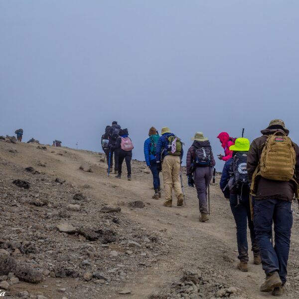
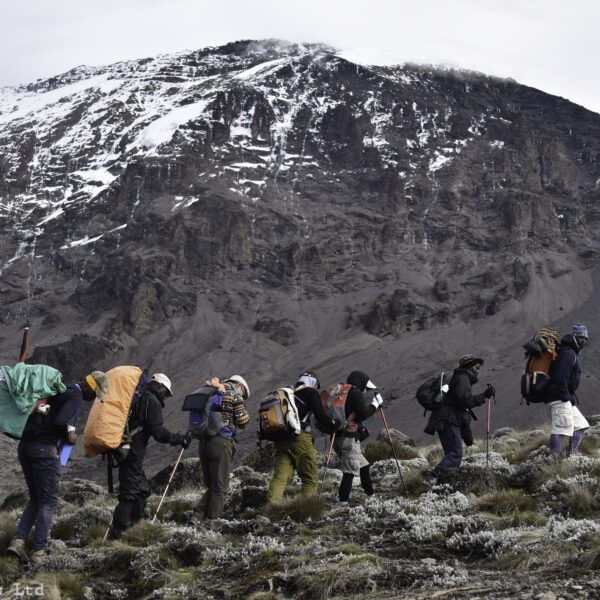
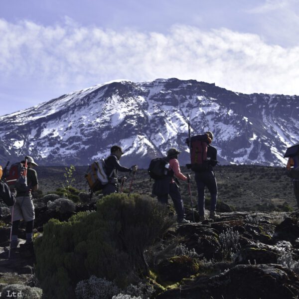
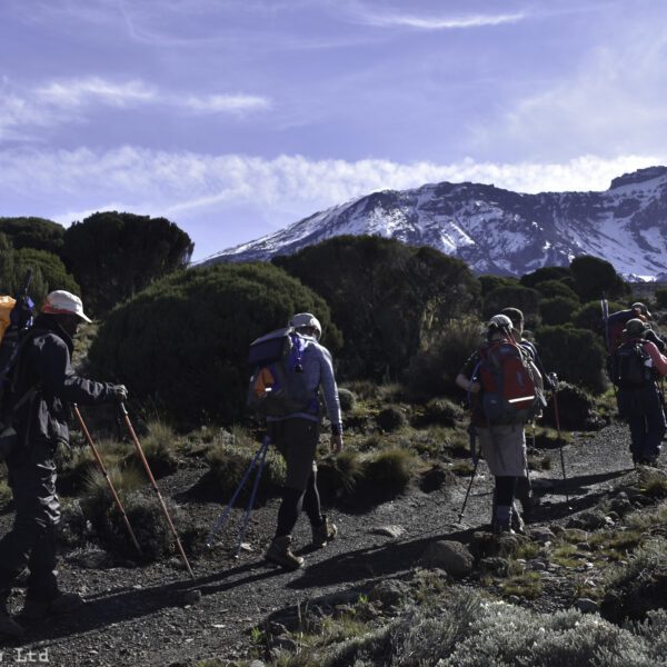
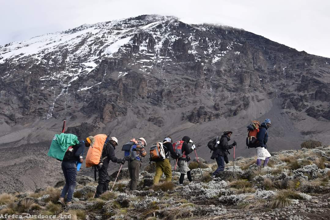
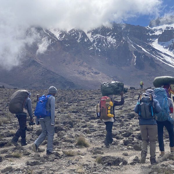
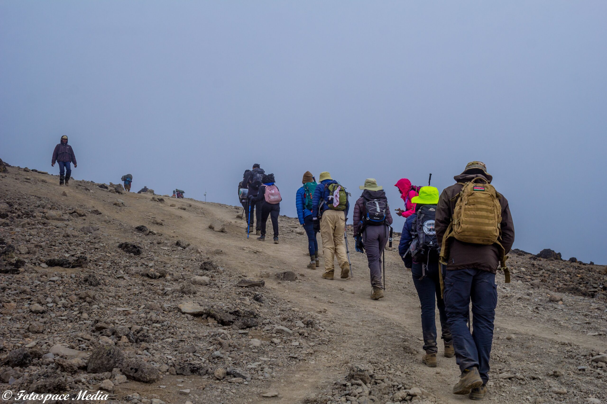
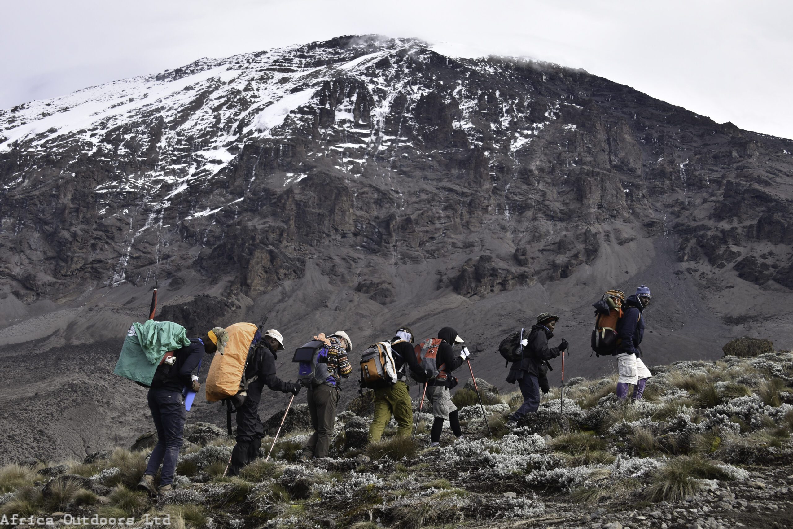
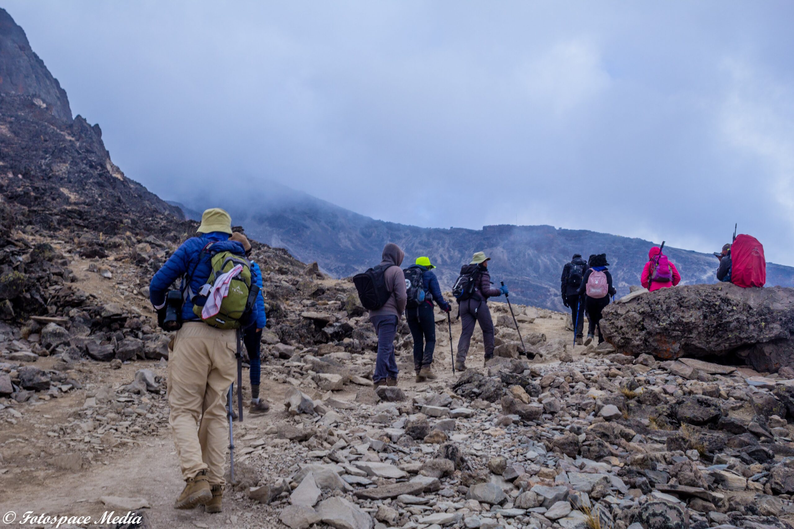
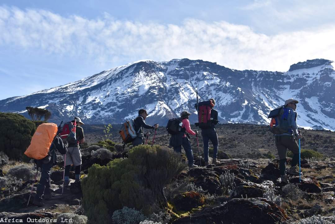
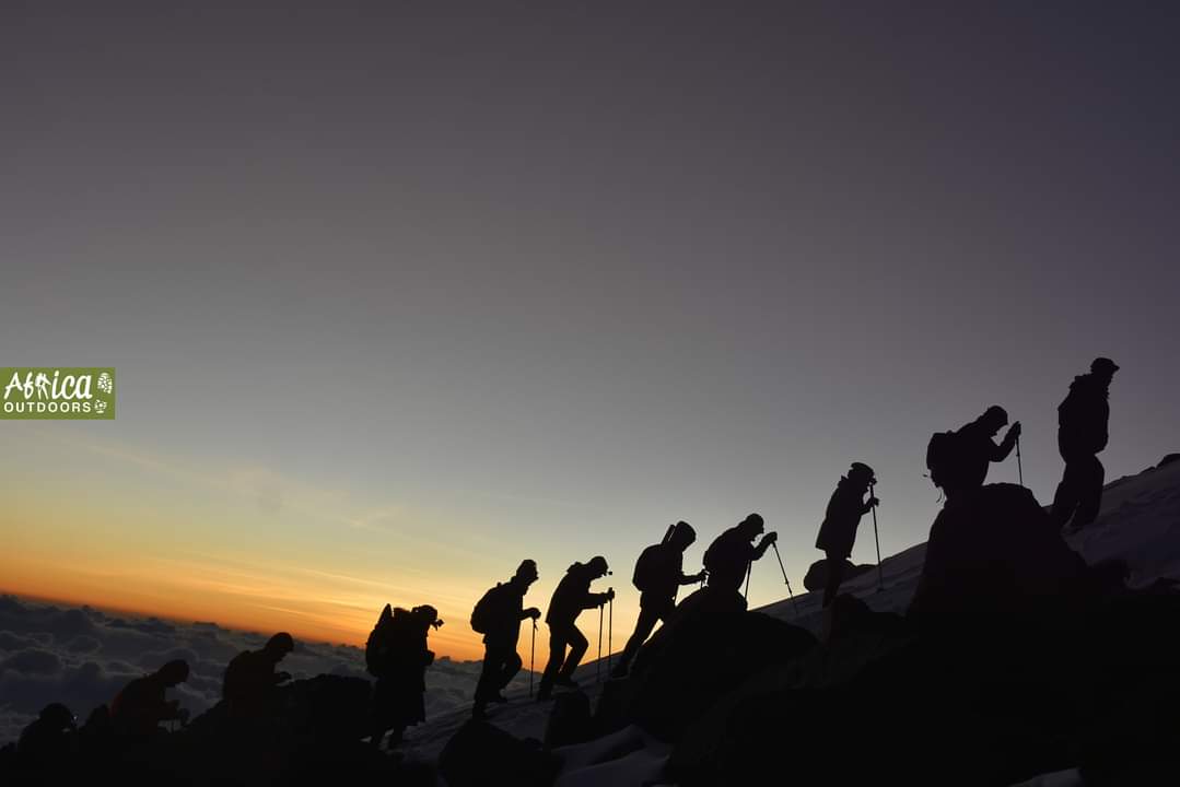
Very early in the morning (midnight up to 2 am), we depart to the summit between the Rebmann and Ratzel glaciers. You head into northwesterly direction and ascend through heavy scree towards Stella Point on the crater rim. This is the most mentally and physically challenging portion of the trek.

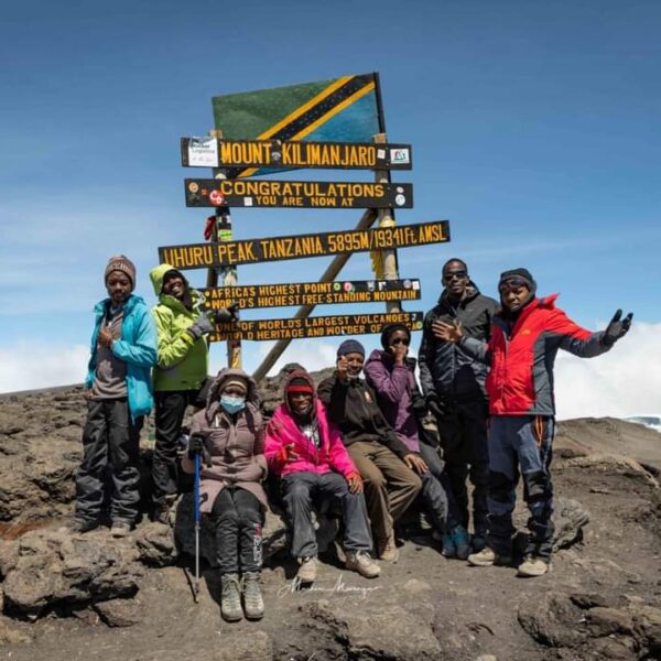
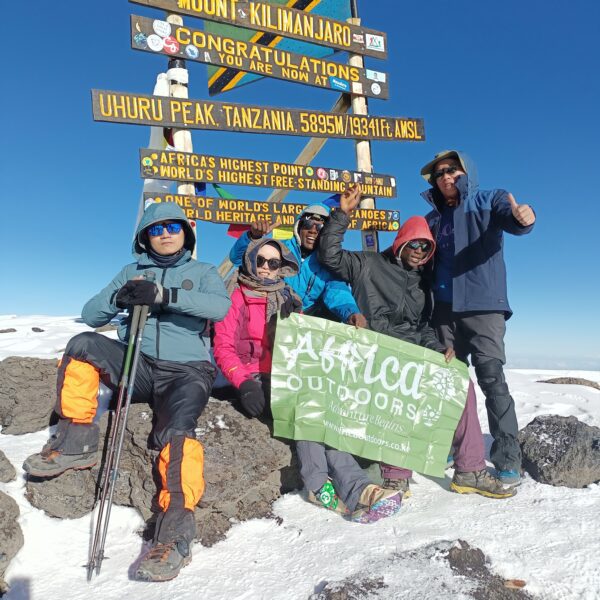
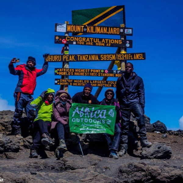
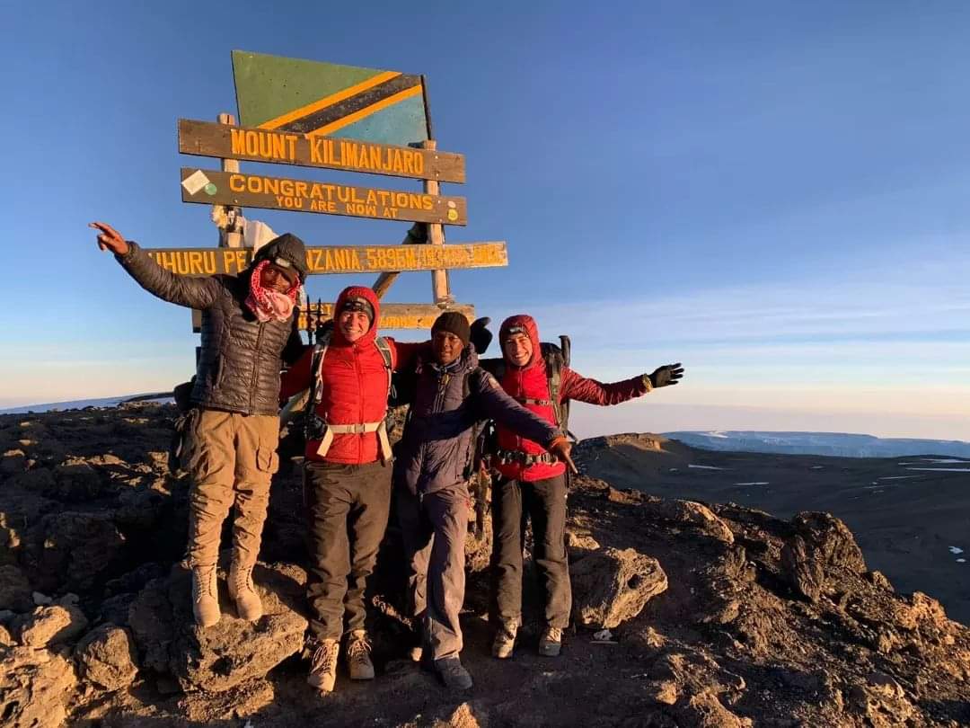
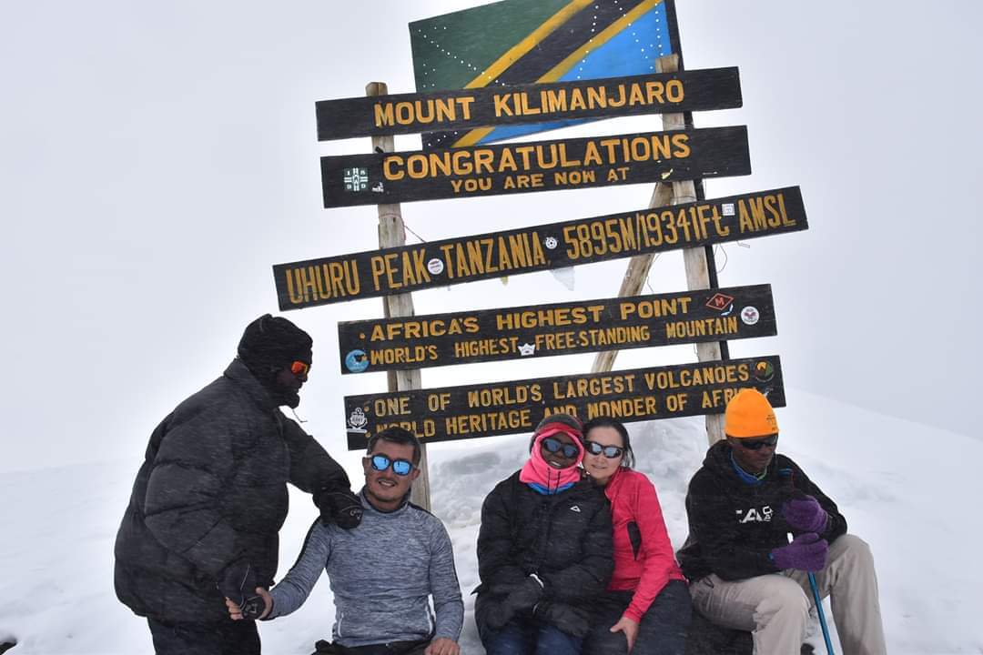
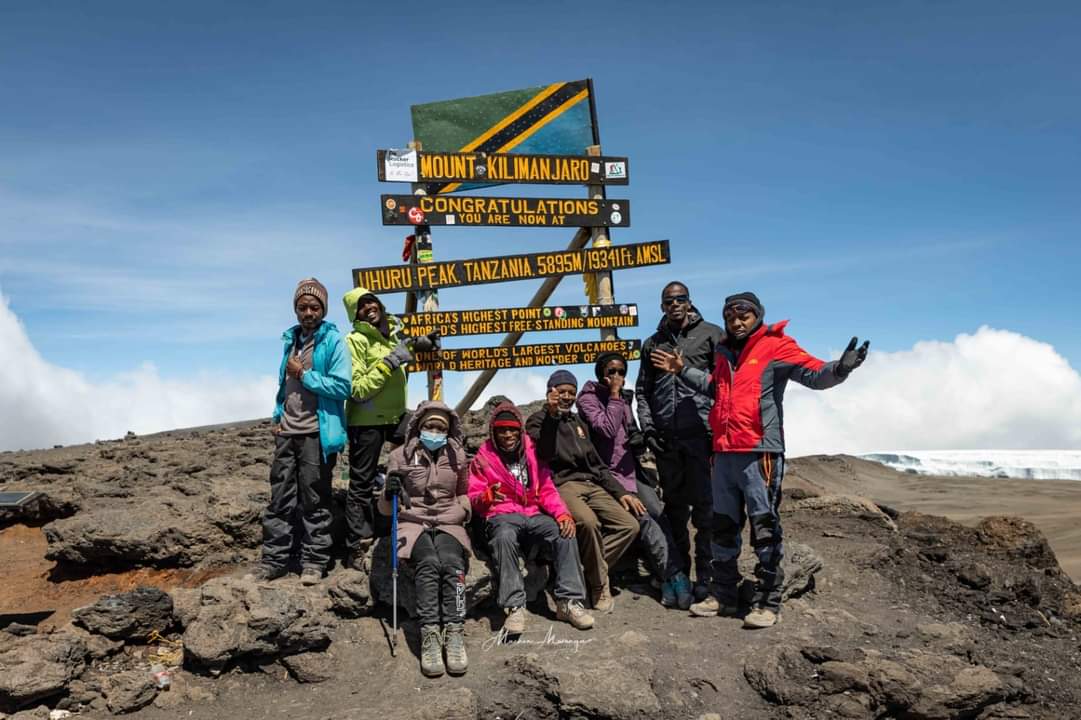
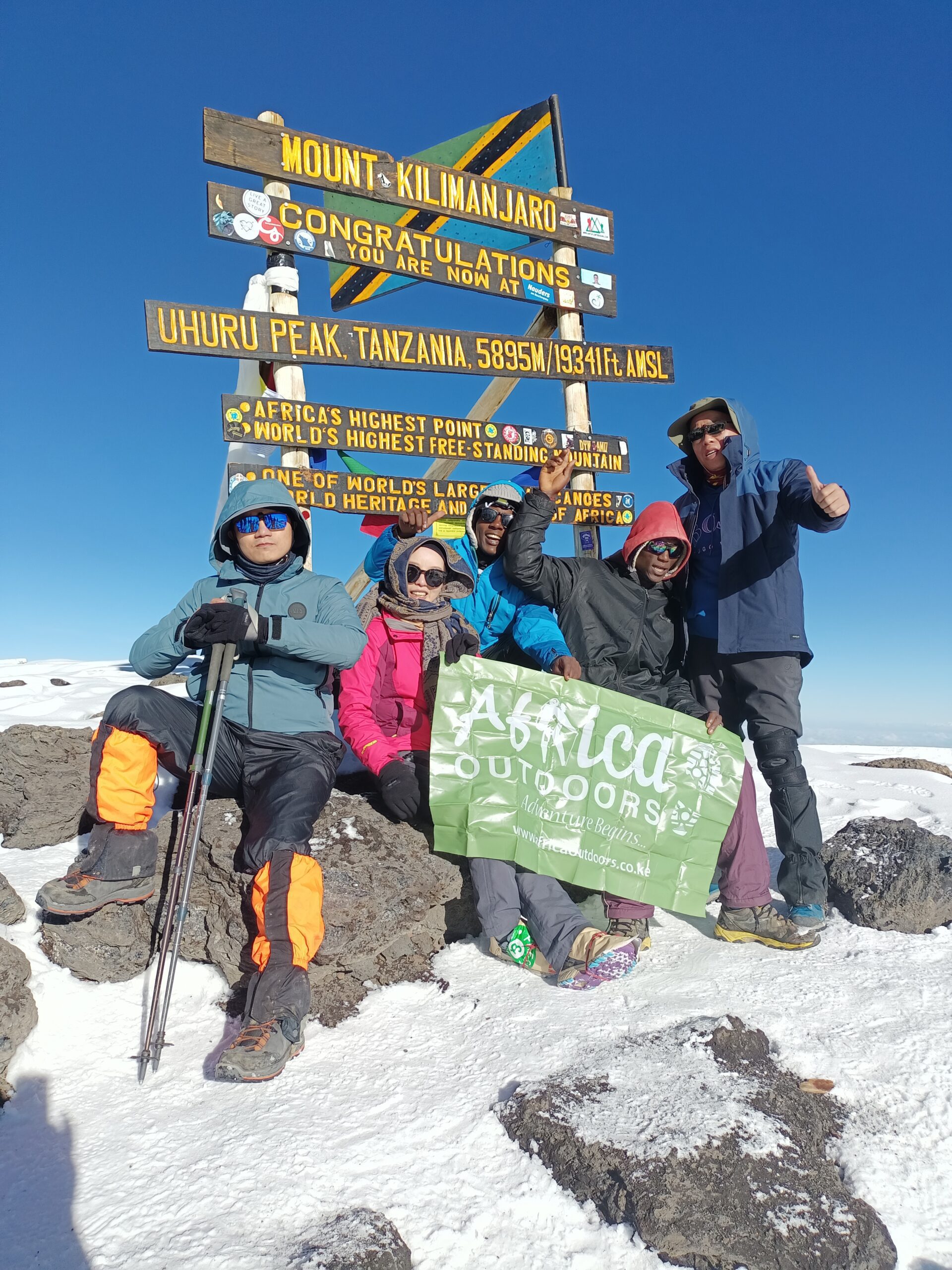
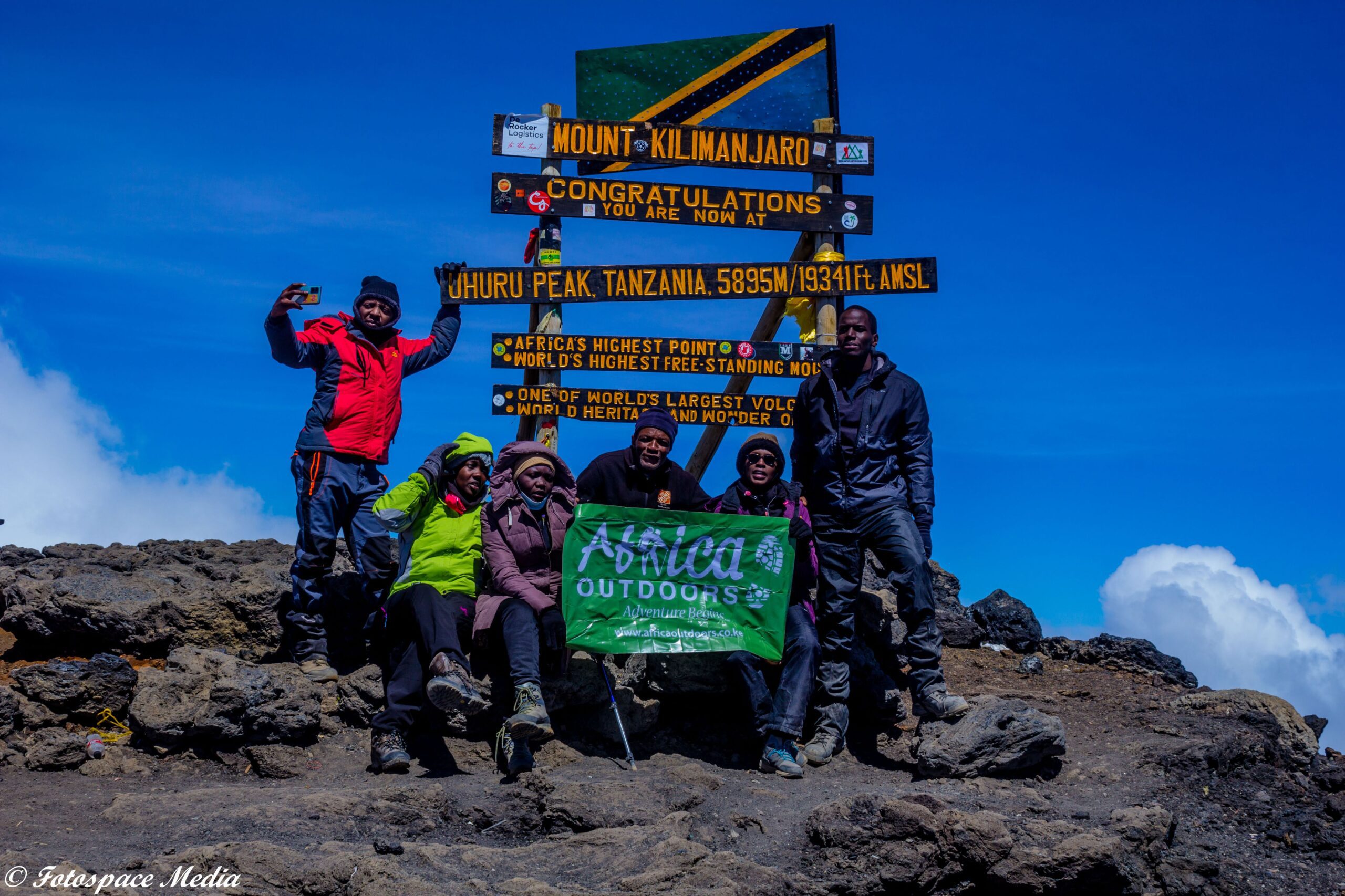
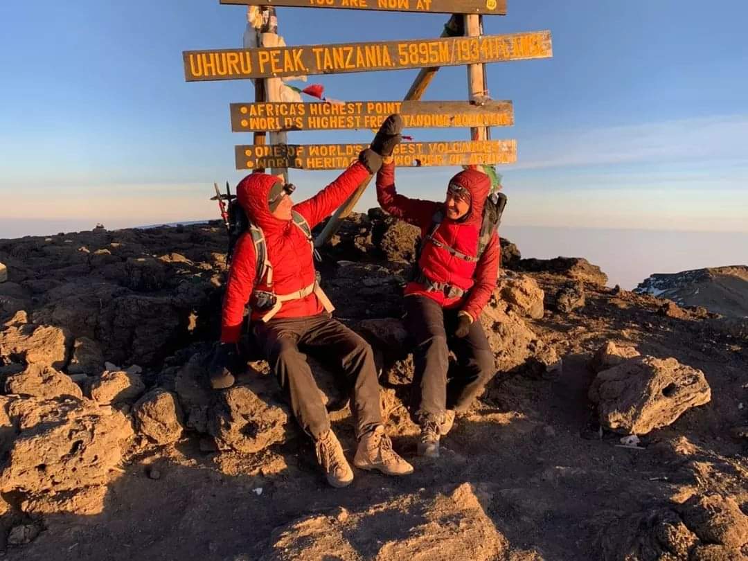
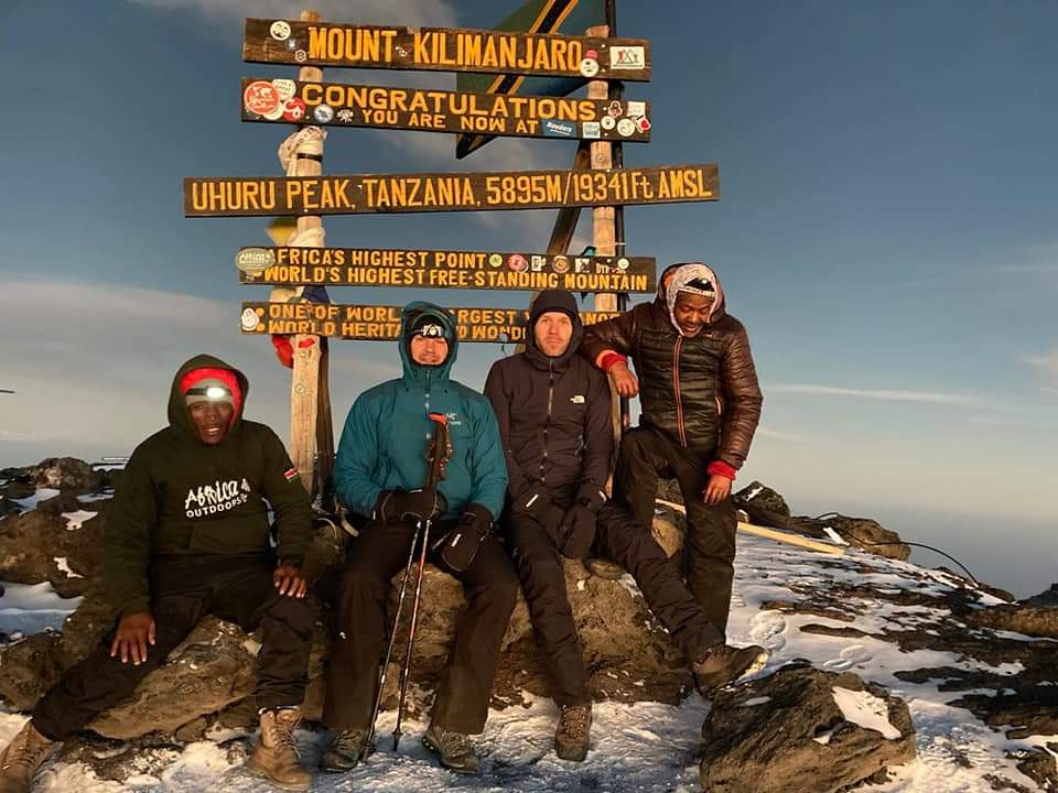
At Stella Point, you will stop for a short rest and the reward will be one of the most magnificent sunrises you have ever seen in your life. Faster hikers may view the sunrise from the summit. From Stella Point, you may encounter snow all the way on your ascent to the summit. Once at Uhuru Peak at 5895m, you reach the top of Kilimanjaro, the highest free-standing mountain in the world and the peak of Africa!

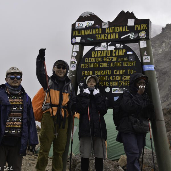
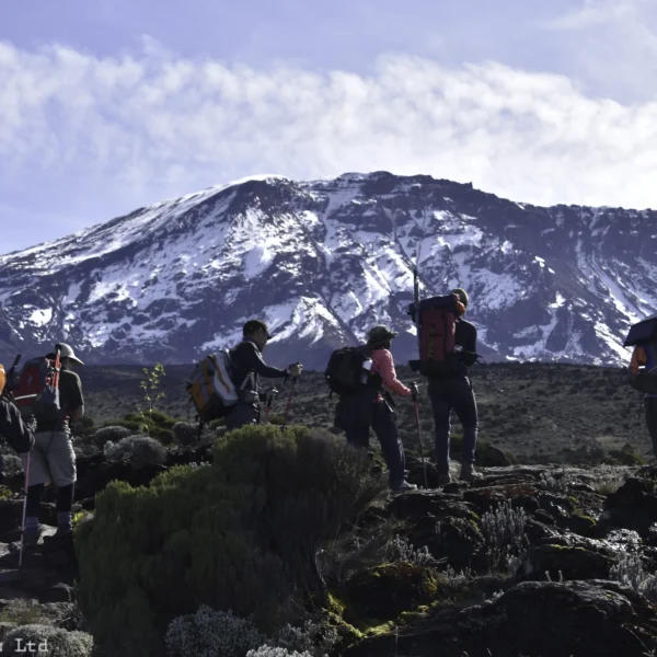
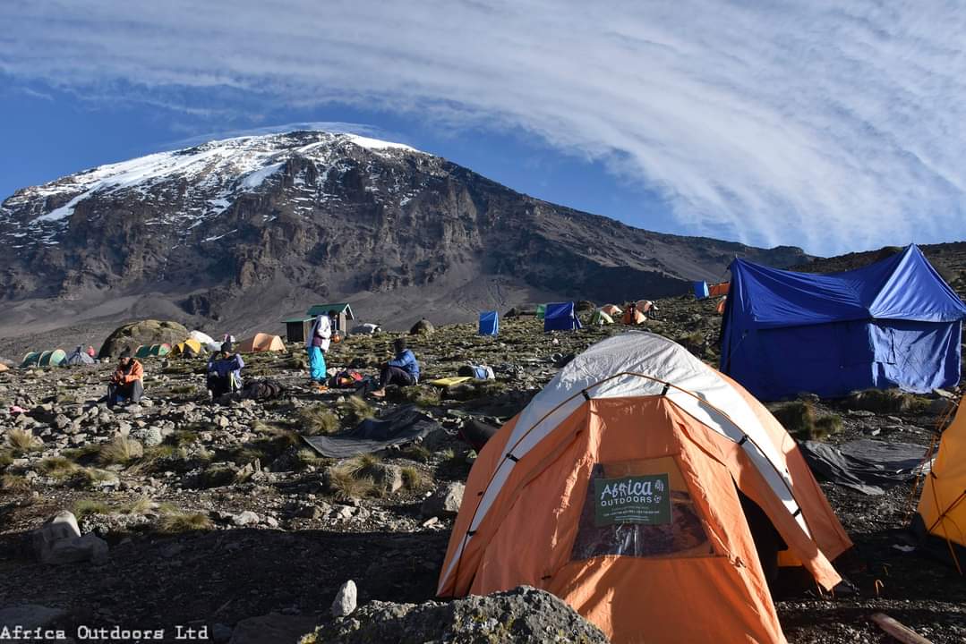
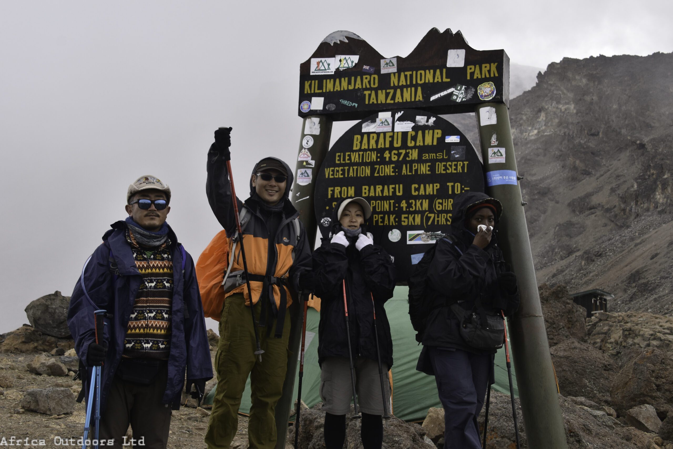
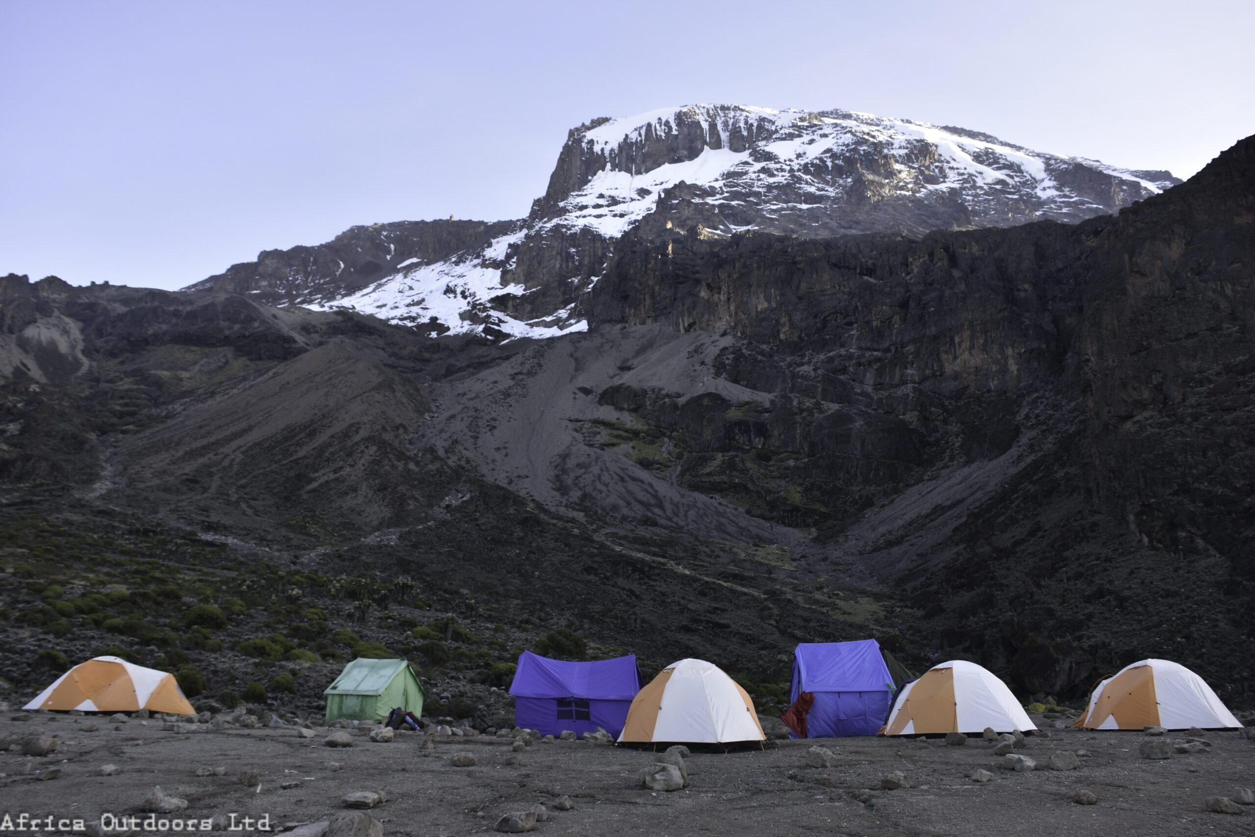
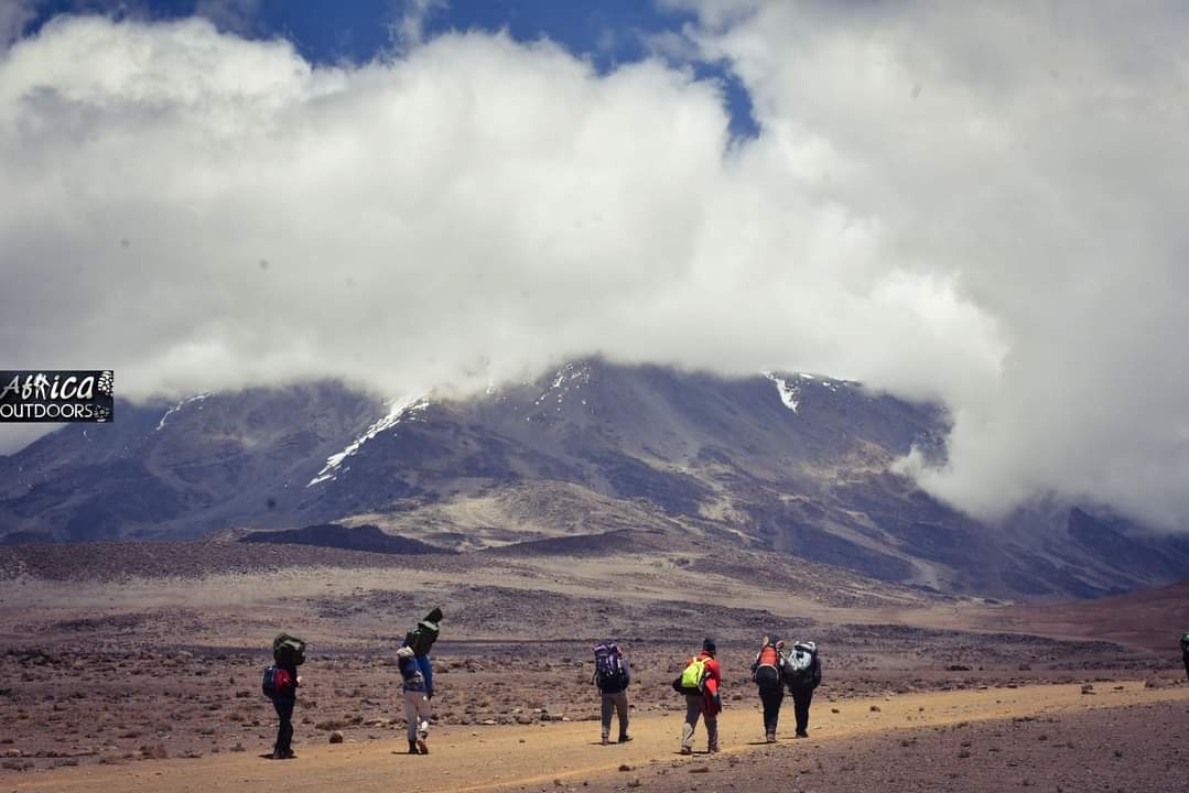
As soon as from Uhuru peak, we begin our descent by continuing straight down to Barafu Camp where we will have maximum 1 hour to rest. We will then continue the trek down to Millenium Camp at 3827m where we will camp and overnight.

Elevation: 4662m/15,295ft (Baranfu Camp) up to 5745m/18848ft (Stella Point) up to 55895/19341ft (Uhuru Peak) down to 3827m/12556ft (Millenium Camp)

Duration: 13 – 15 hours

Ascent distance: 4.86km/3mile – Altitude gained: 1233m/0.7mile

Descent distance: 11.5km/7.1mile – Altitude lost: 2789m/1.7mile

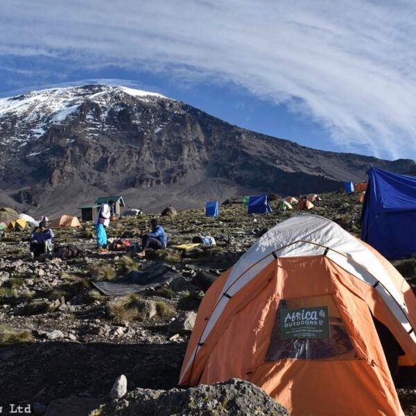
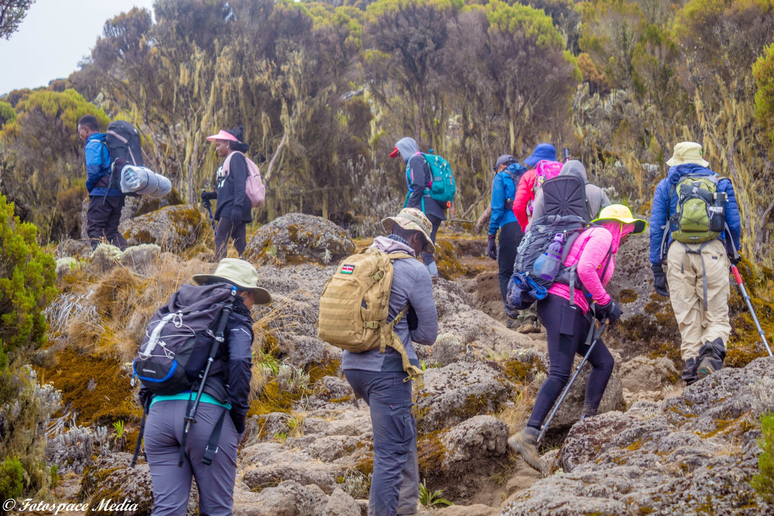
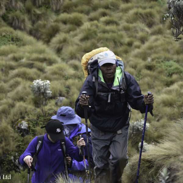
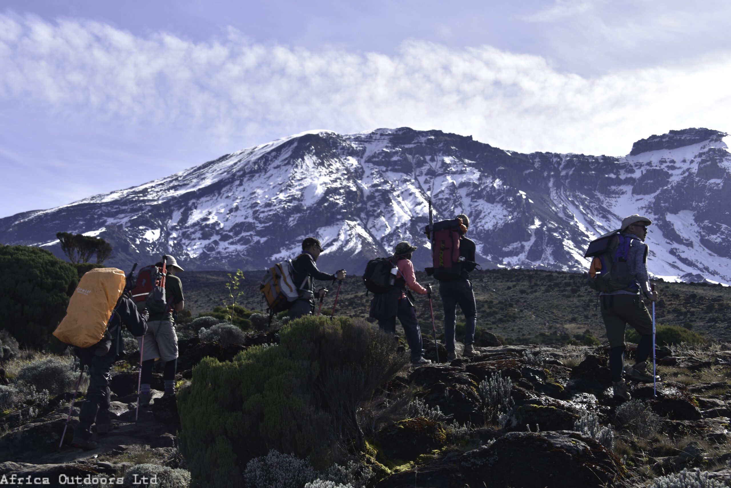
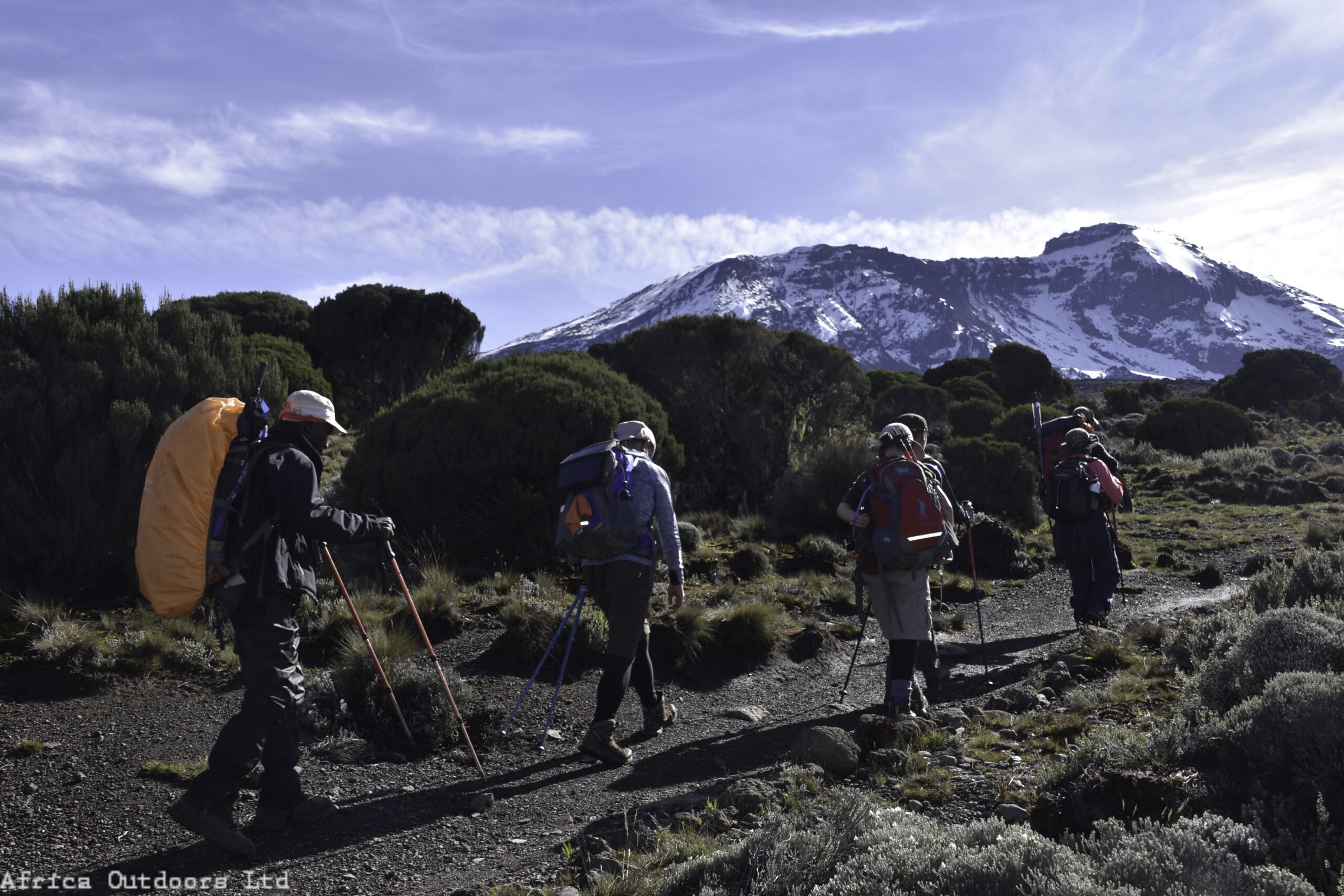
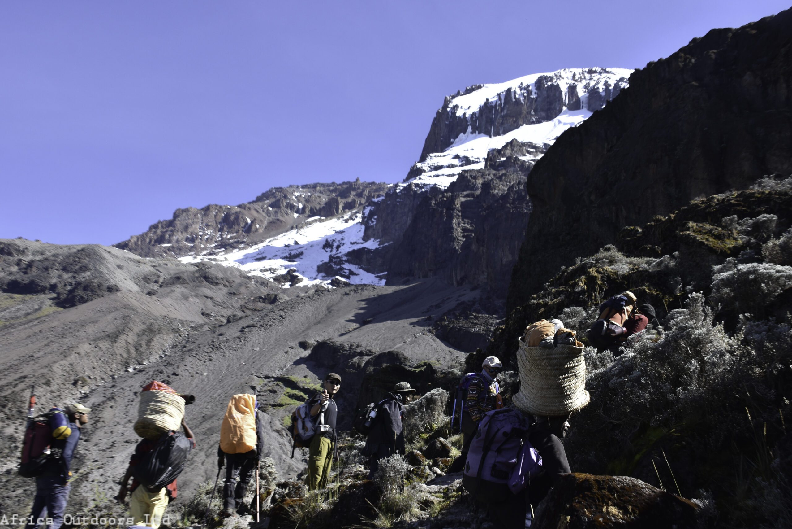
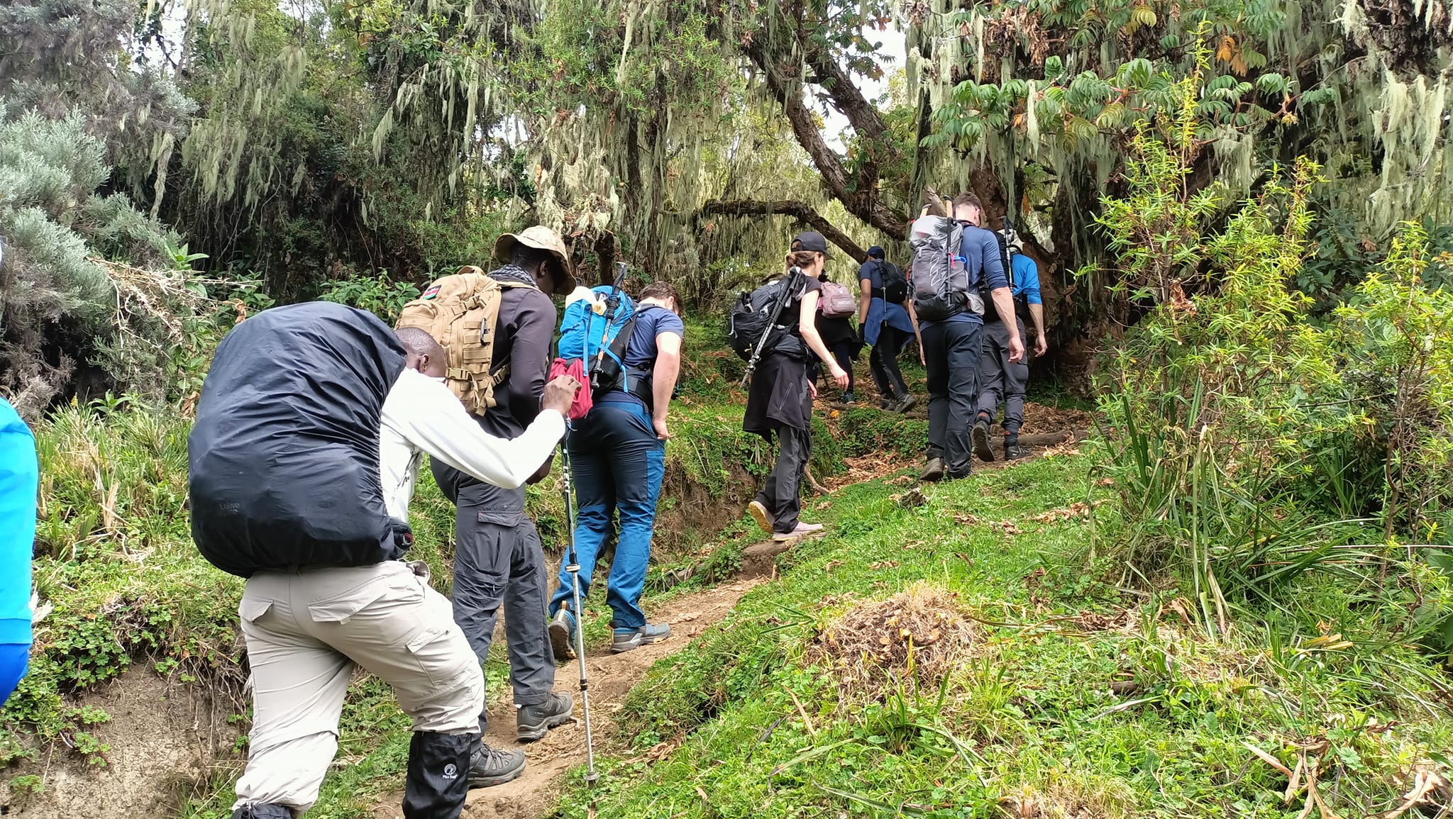
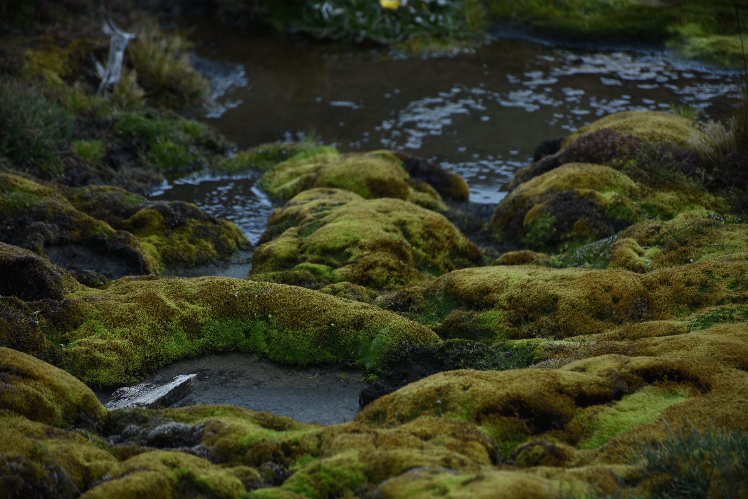
Habitat: ice-capped summit

Meals: Breakfast – Lunch – Dinner

We’ll start early in the morning and trek down through the dusty path into the beautiful rainforest that will take us to Mweka Gate. The walk today will take you 5 to 6 hours. At the gate, we’ll have a picnic lunch, songs from your team and certificate presentation before driving to the hotel where you’ll have dinner and overnight.

Elevation: 3090m/10,150ft to 1680m/5500ft

Distance: 10km/6.2mile

Hiking Time: 5-6 hours

Habitat: Forest

Meals: Breakfast – Lunch

Related Tours

Review Scores

No reviews yet

Add a Comment

Your email address will not be published.

  • Quality
  • Location
  • Amenities
  • Services
  • Price

Booking Tour

Tour Information

Max Guests

Min Age

18

Tour Location

Languages Support

104 tours
39 tours