Mount Elgon
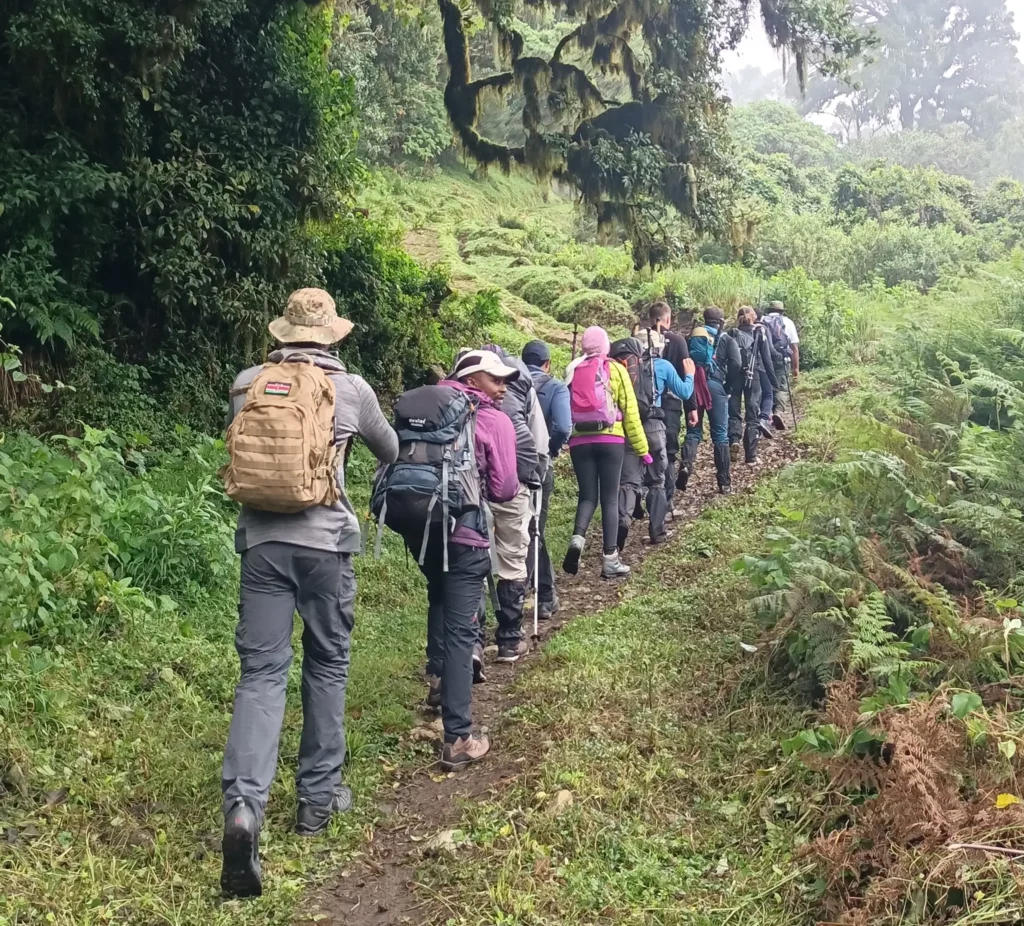
High in the mist-wreathed hills of western Kenya is a towering volcanic giant, crowned by a vast caldera etched by glacial tarns, honeycombed by labyrinthine caves, fissured by valleys and cascaded by streams. Visitors can explore the forest, see the elephant caves and also enjoy biking, hiking, and rock on the eighth highest mountain in Africa.
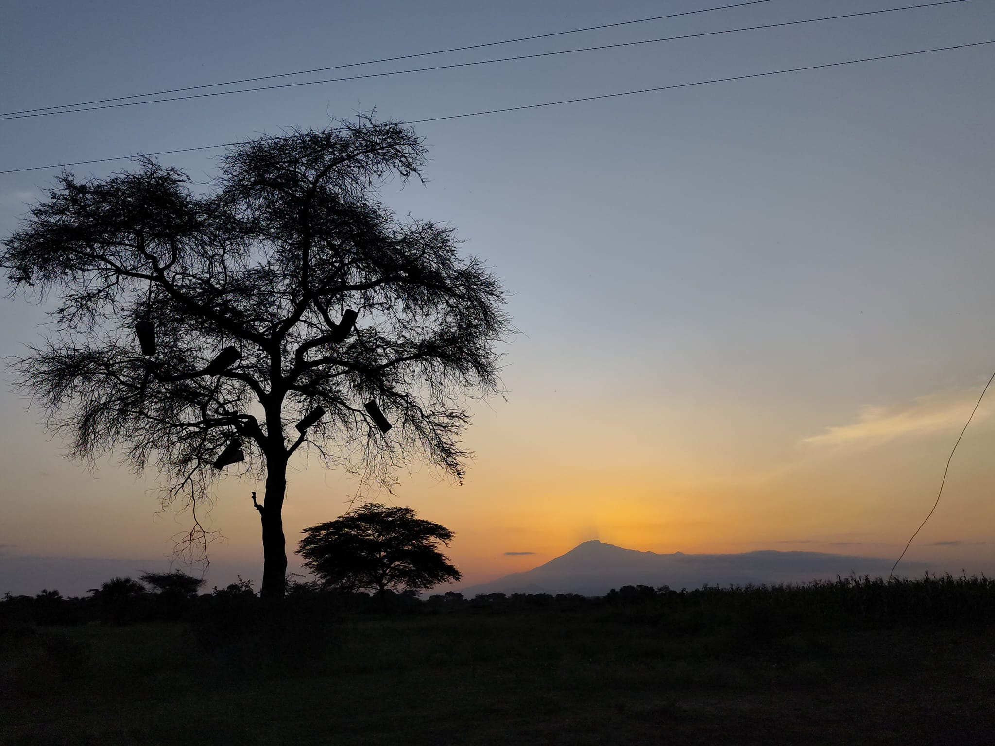
Mount Elgon is a massive solitary volcanic mountain on the border of eastern Uganda and western Kenya. Its vast form, 80 kilometres (50 mi) in diameter, rises 3,070 metres (10,070 ft) above the surrounding plains. Its cooler heights offer respite for humans from the hot plains below, and its higher altitudes provide a refuge for flora and fauna.
Mt. Elgon consists of five major peaks:
- Wagagai (4,321 metres (14,177 ft)), in Uganda
- Sudek (4,302 metres (14,114 ft)) on the Kenya/Uganda border
- Koitobos (4,222 metres (13,852 ft)), a flat-topped basalt column in Kenya
- Mubiyi (4,211 metres (13,816 ft)) in Uganda
- Masaba (4,161 metres (13,652 ft)) in Uganda
Other features of note are:
- The caldera — Elgon’s is one of the largest intact calderas in the world.
- Subsidiary craters to the Southwest: All about 25 km across, Bududu, and manafwa rings intersect the caldera and Bububo with a central plug sits at its edge. The smaller Tororo marks the plain almost 50 km from Elgon’s peak.
- The warm springs by the Suam River
- Endebess Bluff (2,563 metres (8,409 ft))
- Ngwarisha, Makingeny, Chepnyalil, and Kitum caves: Kitum Cave is over 60 metres (200 ft) wide and penetrates 200 metres (660 ft). The cave contains salt deposits and it is frequented by wild elephants that lick the salt exposed by gouging the walls with their tusks. Richard Preston’s book The Hot Zone (1994) described the cave’s association with the Marburg virus after two people who had visited it (one in 1980 and another in 1987) contracted the disease and died.
The mountain soil is red laterite. The mountain is the catchment area for several rivers such as the Suam River, which becomes the Turkwel downstream and drains into Lake Turkana, and the Nzoia River and the Lwakhakha River, which flow to Lake Victoria. The town of Kitale is in the foothills of the mountain. The area around the mountain is protected by two Mount Elgon National Parks, one on each side of the international border.
Key features
Vegetation
The diverse terrain and dramatic ascents of altitude combined with the vagaries of rainfall and weather produce four distinct vegetation zones on Mt. Elgon. They include:-
- The Lush Montane Forest (2000m-2500m): The forest is of the dry, highland evergreen type and includes over 100 species as well as epiphytic orchids, ferns and trailing lianas. The best place to see this type of forest is on the Chelulus circuit.
- Mixed Bamboo and Podocapus Zone (3000m-3500m): Together with the forest contain the highest biodiversity on the mountain.
- Heath Zone (3000m-3500m): is characterized by dense scrub, brilliant wildflowers
- Moorland Zone (3500m-4321m): Boasts of the highest number of endemic plants species on the mountain. The open moorland grassland is dotted with clusters of peculiar Giant grounded plus Lobelia plants which are unique to East Africa.
When to go
Open year round; the Mt. Elgon area can be wet throughout the year. The driest months are December to February. There is cross-border tourism initiative where tourists climb on the Kenyan side and descend on the Ugandan side or vise-versa for convenience.
What to take with you
- Plenty of water, picnic items, waterproof gear, warm clothing, walking boots, camera, camping equipment( if you intend to stay overnight) plus insect repellant.
- Also useful are binoculars, hat, sunscreen and field guides.
Recent Posts
Mount Kenya Charity walks
Mount Kenya Day Hike
Mount Kenya Challenge Program
All Categories
Tags

Thailand

