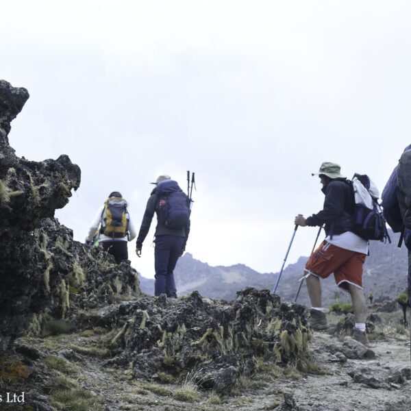
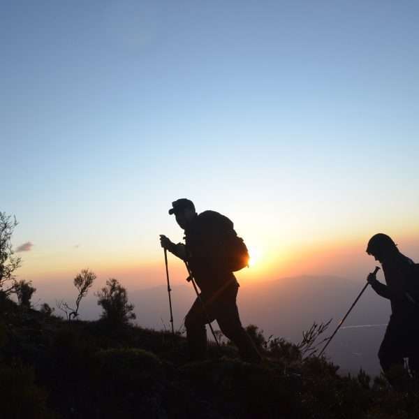
Mount Rwenzori Climbing Magharita Peak(10 Days)
Overview
This Rwenzori hiking tour brings you to the highest mountain range in Africa shared between Uganda and DRC. This is the most popular hike to the Rwenzori Mountains, 10 days of hiking Rwenzori mountains in Uganda is memorable and it leads you to Margherita peak that happens to be the tallest peak on Mt. Rwenzori. Rwenzori Mountains is the highest mountain range in Africa shared between Uganda and DRC.
The snow covered Rwenzori Mountains-also known as the MOUNTAINS OF THE MOON and protected as Rwenzori Mountains National Park will offer you the unique experience you’ve been looking for in Africa.
The hiking safari that leads you up the mist-shrouded peaks provides stunning backdrops to these magnificent mountains, including six main mountains with peaks exceeding 4,500m of altitude Mt. Stanley, Mt. Speke, Mt. Baker, Mt. Gessi (in the Congolese side), and Mt. Emin Pasha, Mt. Luigi di Savoia.
- An expedition to the Rwenzori is an exhilarating and rewarding experience but one which must be well planned.
- There are several circuits to the top of the mountain; since the mountain has seven peaks and six are snow capped ones.
- The mountain’s altitude is 14000ft
- The mountain is renowned for its engineered, steep and slippery trails and frequent rain characterized by cold temperatures, bog, mud, steep terrain and high altitude.
- Due to hash conditions the best time for hiking is July-August and December-February
Included/Exclude
- Airport/Hotel Transfers
- Park Entrance Fees
- Meals as per Itinerary
- 4×4 Safari Transportation to/from airport
- English Speaking Tour Guide/Driver
- Accommodations before and after the hike in Kasese
- Porters, guide, chef, food in the mountain
- camping tents or cabins and sleeping mats in case of camping
- Transport from kasese to the park gate and back after the trek.
- Gas cook, cooking appliances & community fees
- Tourist Entry Visa
- International Flight Tickets
- Travel Insurance
- Items of Personal Nature
- Tips and Gratuities
- Any extra peak will attract $200 per peak per person
- Note: On Entry to Uganda, a PCR negative certificate is required to be presented. And on return back home, MUST carry out PCR test which is 250,000UGX.
Tour Amenities
Tour Plan
Drive from Kampala in the morning and proceed to the western part of the country by either passing through Masaka-Mbarara which is 422km drive by 4*4 vehicle that takes you through Queen Elizabeth national park crossing the Equator line that takes 7-8 hours and arrive in Kasese town or by using Mityana-Fortportal kasese road which is 372km drive that takes 6-7 hour drive to Kasese. On reaching either Mbarara or Fortportal, your driver will stop you for a lunch and then proceed to kasese and to your hotel for an overnight.
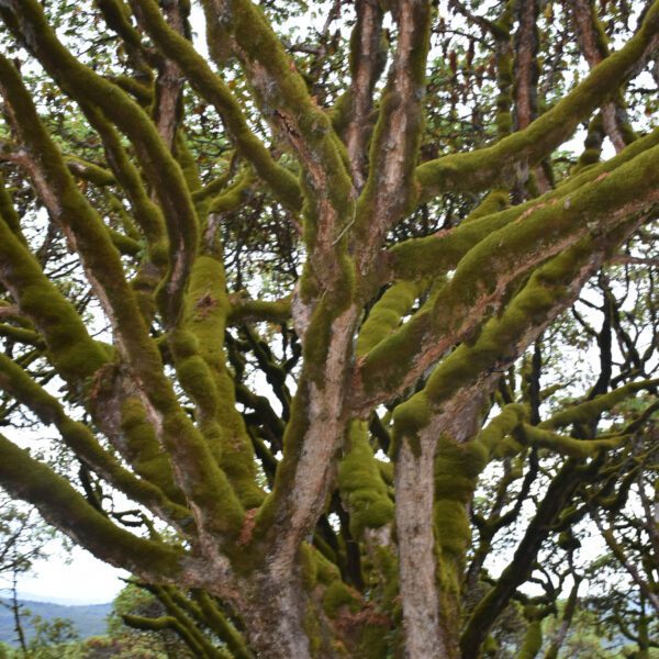
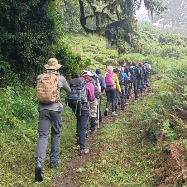
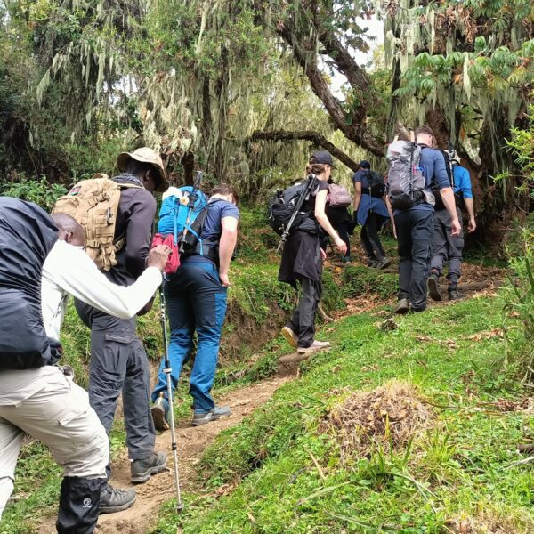
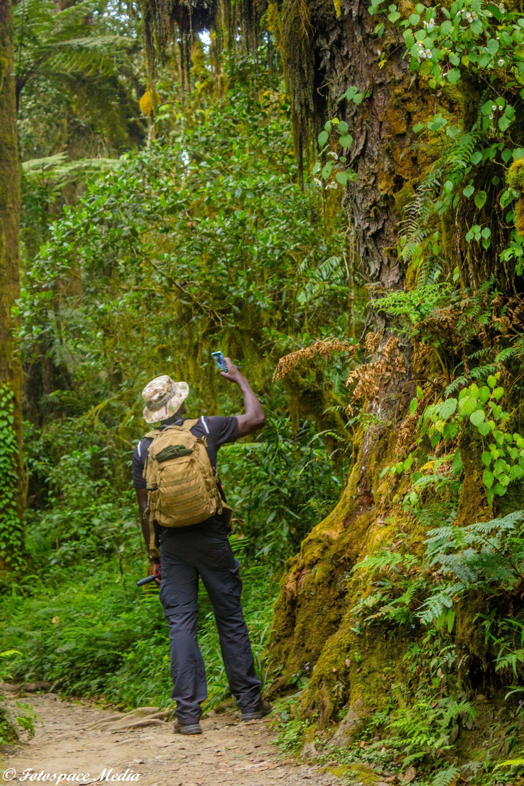
In the morning after breakfast, you will be picked by your guide and then head to the Rwenzori Mountains National Park Head Quarter at Nyakalengija, 1.646 m. At this point you receive briefing from your guide or the tourism officer. The hike starts through the plantations and homes of the Bakonzo, the people of the mountain, gradually reaching garden plots and elephants grass and then join the forest zone . You follow the Mubuku river, until crossing the Mahoma river. The trail passes through an open bracken fern slopes and a beautiful Forest canopy, up to Nyabitaba Hut, 2.652 m. which is the arrival point for the day. From the location, you are facing on the North the Portal Peaks 4.627m, in front Mount Kinyangoma. During the day, you might see monkeys, the Rwenzori Turaco, three horned chameleons which is endemic in the Rwenzoris, common bulbul birds, yellow eyed tinkle birds, wood pecker, mountain elephants and hearing the voices of the chimpanzee, Kasese town. This hike takes between 5-6 hours.
From Nyabitaba Hut you cross the Kurt Shaffer Bridge, through a muddy area. Then the trail climbs up through the bamboo forest. During this day, it takes you to the forest zone up to Kurt Shaffer bridge and then you start the bamboo/memolopsis zone up to Nyamuleju camp which is the old hut before John Maate camp. This point marks the start of the heather zone where you will see the Ericaceous trees, everlasting flowers, giant lobelia and groundsel and its at this point where you can see red duikers, rock hyrax and white Columbus monkeys. The way proceeds through a bog full of typical plants along the Bujuku river. The final point is John Matte Hut, 3.414 m. for spending the night. From Nyabitaba Hut to John Matte it can take approximately 6-7 hours. Enjoy the view of Mount Stanley and snow capped Margherita and Elena Peaks if the weather is clear.
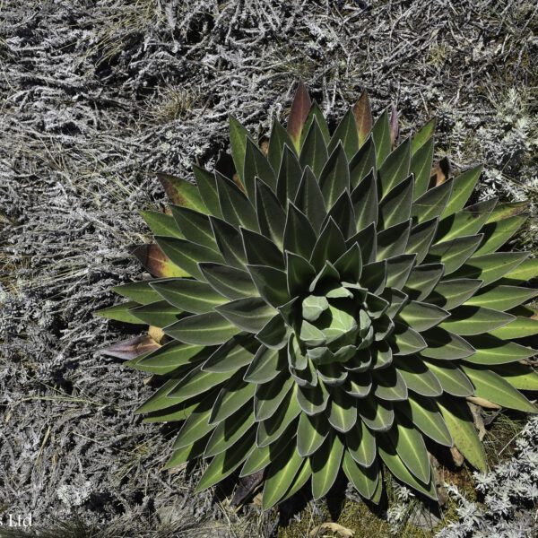
From John Matte Hut you cross the Bujuku River and enter the lower Bigo bog, a grassy bog where you experience how to jump from tussock to tussock. Currently, there is a constructed walk board on both lower and upper bigo bogs that makes a clear view of the mountain sceneries. And this is the point where you start the alpine savannah zone of little vegetation. During this day you will be able to see the beautiful gardens of gaint lobelia, asanasio black berries, wild carrots, Alcamilla, lake Bujuku, sun birds, red duikers, rock hyrax and more.
Depending on the weather, you may be able to view the peaks of Mount Stanley, Mount Baker and Mount Speke. You finally arrive at Bujuku Hut, 3.962 m. From Bujuku, here starts the diversion for whom intends to climb Mount Speke. For those climbing Margherita and Alexandra peaks it is advised to proceed to Elena Hut for overnight. This day hike takes between 4-5 hours.
From Bujuku, the trail takes you through more bog, while climbing the steep slopes west of the lake and through the magical Groundsel Gully as it ascends to Scott-Elliot Pass at 4372m. At the head of the gully a metal ladder takes you over a steep section after which the trail is divided into two. The trail on your right leads up to Elena Hut and Mount Stanley on a steep trail over large boulders, while the trail on your left leads to Scott-Elliot Pass and down to Kitandara Lakes. During this day, you be able to see Mount Speke glacier on Victoria Emmanuel, Margerita peak on Mount Stanly and the nice view of Lake Bujuku, amazing rock path and so many others. Finally you will reach for an overnight at the Coolly & Icy Elena Hut. This day hike takes between 4-5 hours.
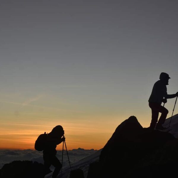
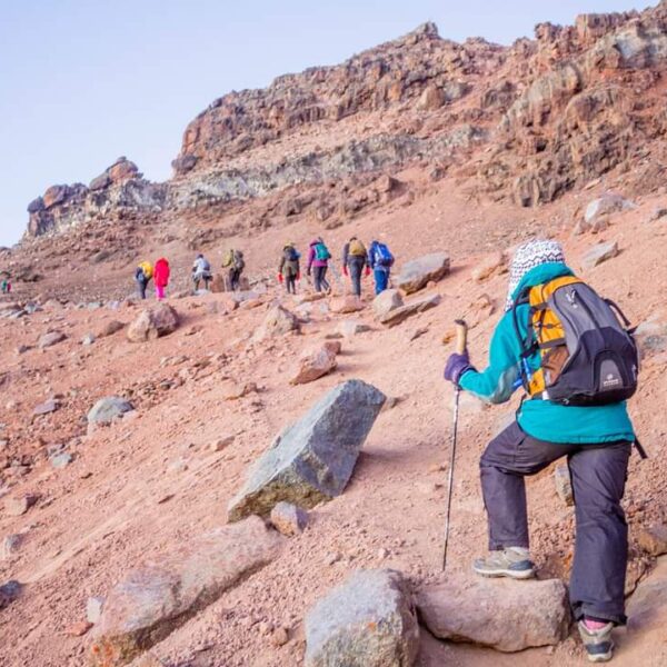
For those aiming at reaching Margherita peak (5109m), continue to the base of the Stanley Glacier. To reach the summit of Margherita, the climb takes about 5-7 hours depending on the weather conditions and the pace of climbing this mountain. This tough walk takes you over three glaciers, slippery rock, ice and very exposed areas which are open on many sides. Note that this climb is for only physically fit and technical climbers. Climbing on to the glaciers, cross the Stanley Plateau and proceed with the ascent. Acclimatized to fog, altitude sickness and coolly weather, scramble up to the summit of Margherita the highest peak of the Rwenzoris. Given the high altitude and the tough conditions even if you do not reach the peak, don’t get disappointed.
Reaching back to Elena hut, prepare for sloping down to Kitandara hut through Scott-Elliot pass, where there are spectacular views back to Bujuku Lake and Mount Speke, up to Mount Stanley and down to the Kitandara Lakes. After the trail that passes you through an alpine zone of sparse vegetation with beautiful gardens of flowering Asanasios, giant lobelias, and rough boulders, descend to the twins Lakes of Kitandara where you will enjoy the shores of Kitandara Lake which is worthy beach life and overnight at the Kitandara Hut. This also takes you to 2-3hours but ascending down throughout the hut. However, basing on the time reached at Elena hut after margarita, you talk with your guide to have another night at Elena hut which will lead to an extra day.
From Kitandara, take on the trail that ascends steeply up the headwall, spreading out from the base of Mount Baker and continuing along the south side of the mountain to Fresh field Pass 4.282 m. At this point you can view into the Congo to the west and Mount Stanley to the north. From the pass, take on the long trail passing through bogy and slippery rocks that leads you to Bujongolo rock shelter the base camp for the historic expedition by the Duke of Abruzzi in 1906. The hut is surrounded by a beautiful landscape of mountains, vegetations dominated by the giant lobelias and rivers. Overnight at Guy yeoman and this takes 5-6 hours.
In this day you complete the central circuit by going back to Nyabitaba Hut. The trial is attractive along the valley of the Mubuku and Kichuchu rivers, rich in plants and flowers of the heather zone before reaching the bamboo forest. Time to reach Nyabitaba is about 4- 5 hours. Eventually, you decide to descend directly to Nyakalengija, adding 2-3 more hours or stay at Nyabitaba hut for an overnight. Here it may depend on the decision of the client to either make it a one way journey from Guy Yeoman Hut direct to Nyakalengija or to have an overnight at Nyabitaba. However most clients prefer to make it one way journey from Guy Yeoman Hut direct to Nyakalengija/Park Head Quarter. Picked by your driver to Kasese town for an overnight.
From Nyabitaba to reach Nyakalengija it can take up to three hours. From Nyabitaba you can still decide with your guide to starts the 40 minutes trial to see Lake Mamoha and back to the hut for descending to the Park Head Quarter. Picked by your driver to ovenight I Kasese town
Drive from Kasese with lunch stop on the way that is in Fortportal and proceed to Kampala /Entebbe. End of Expedition and we say bye-bye see you agai

