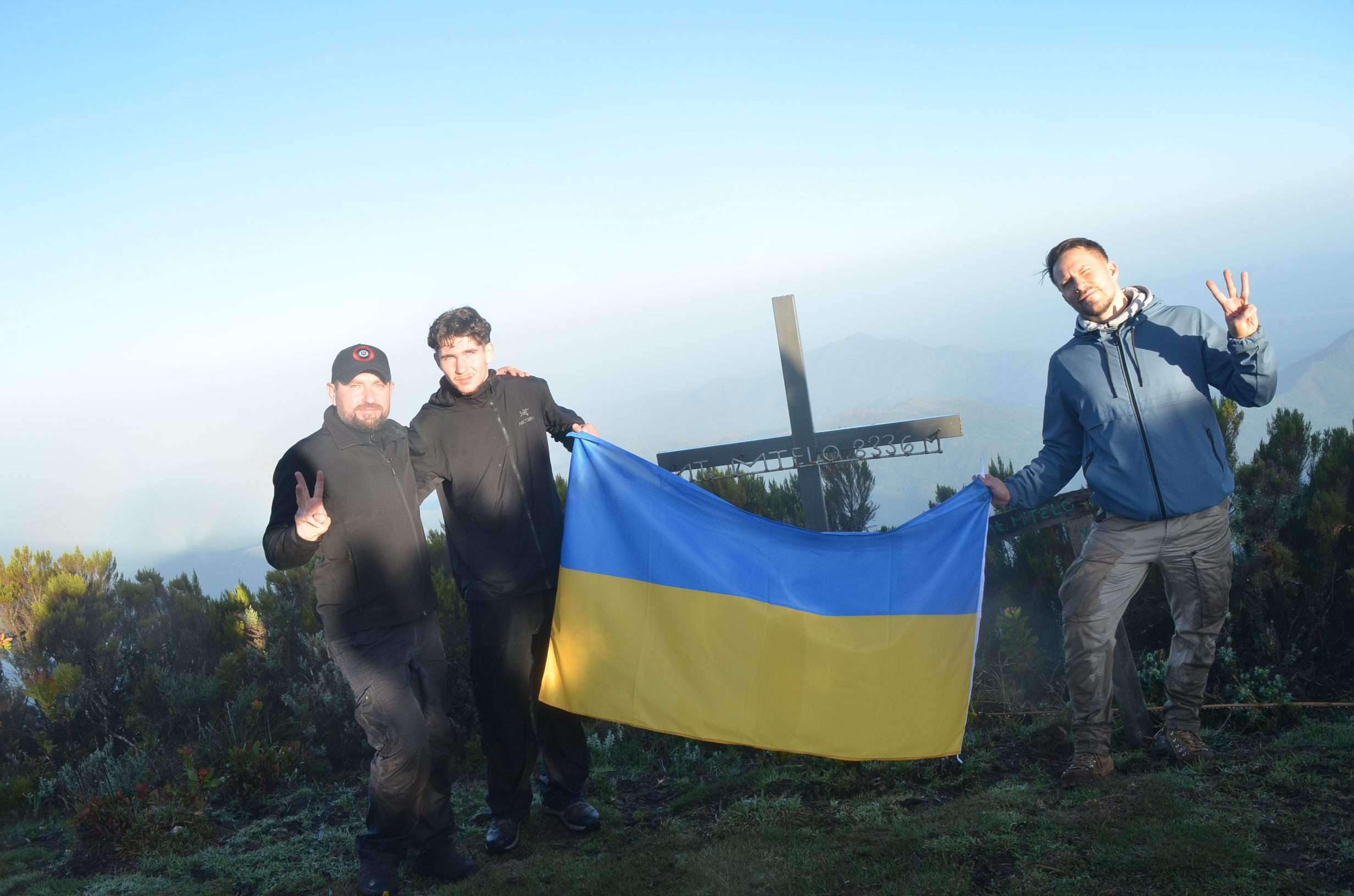
Mount Mtelo is the seventh-highest mountain in Kenya, after Mount Kenya, Mount Elgon, Aberdares, High Cheranganis, and Mount Kipipiri, and is situated in the North West highlands of West Pokot County, approximately 120 km north of Kitale Town.
- Location: Mount Mtelo – West Pokot County, Kenya.
- Difficulty: Hard.
- Distance from Base to Summit: 9.8 km
- Min. Elevation: 1,900 m.
- Max. Elevation: 3,336 m. (Summit)
With a population of about 30,000 people, the region is home to six clans: Chapin, Kamket, Ngusurot, Silokot, Talai, and Tungo. However, the location is remote, and the majority of residents rely on subsistence farming (maize and beans).
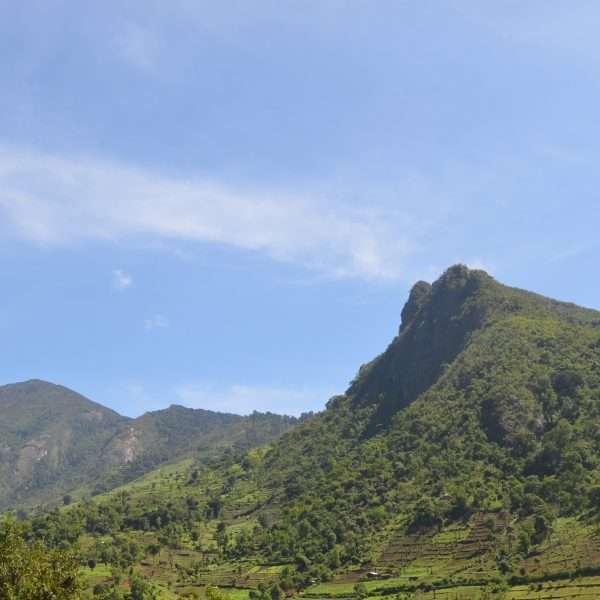
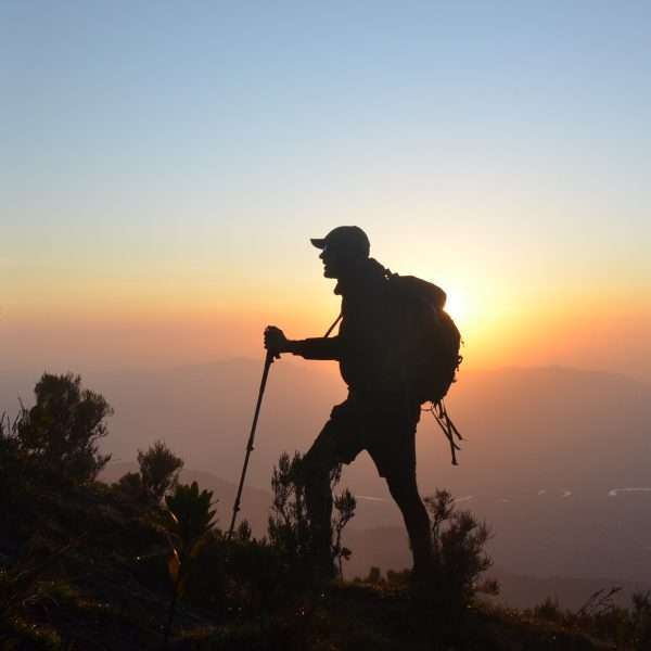
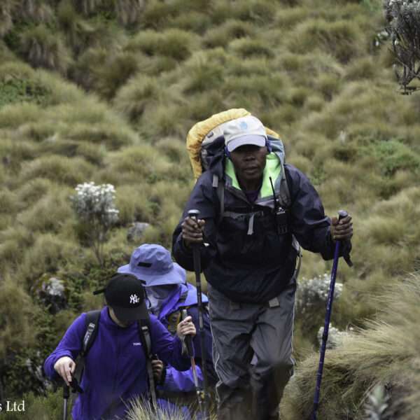
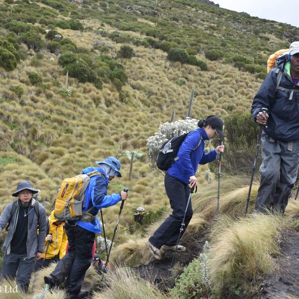
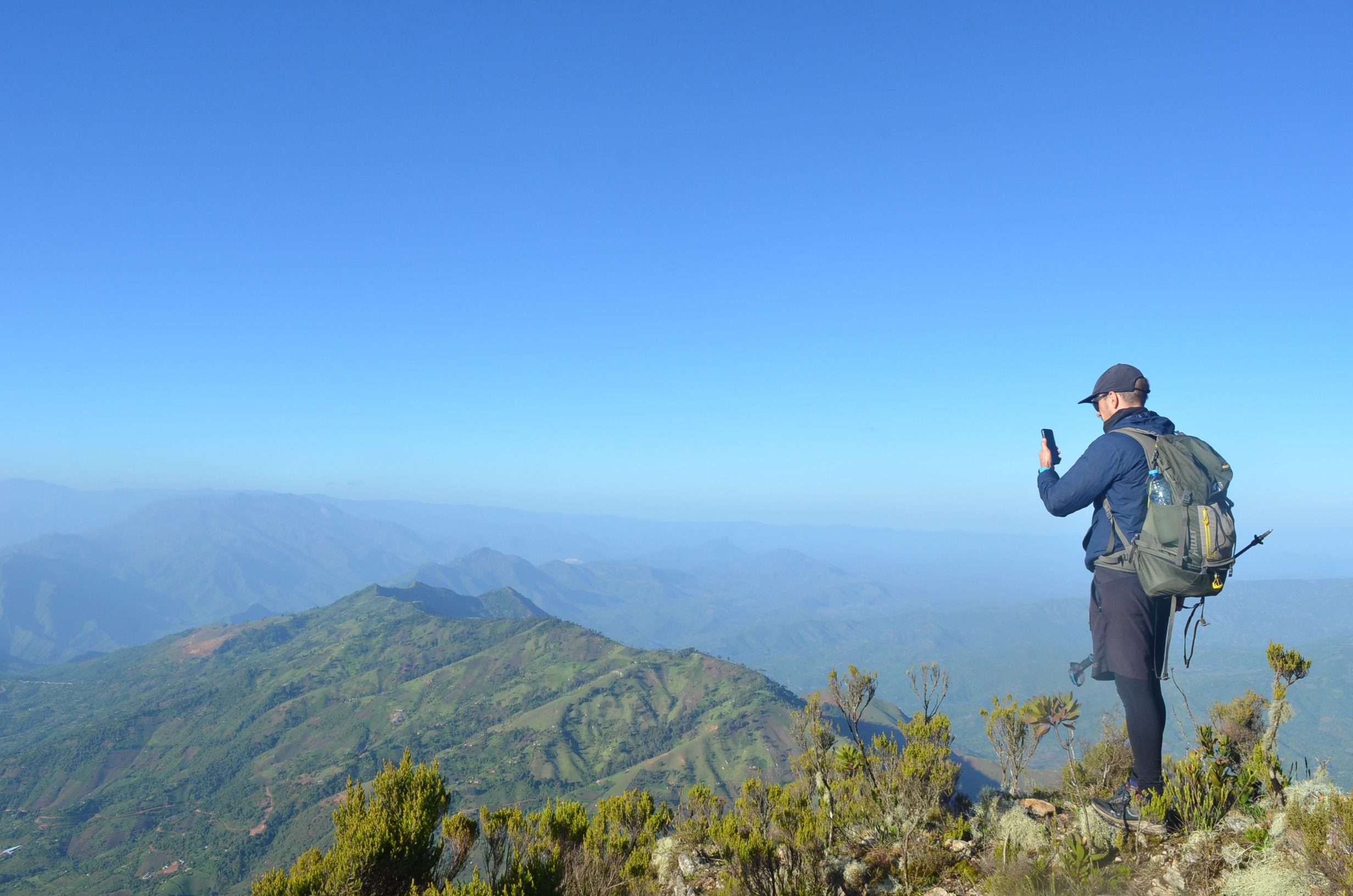
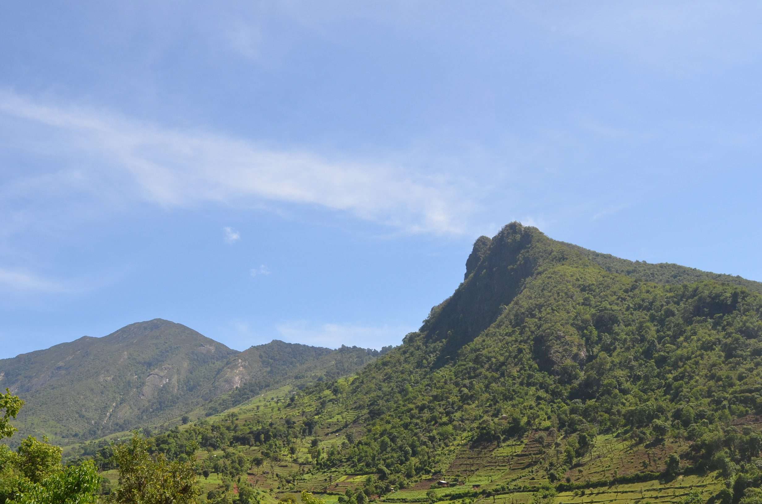
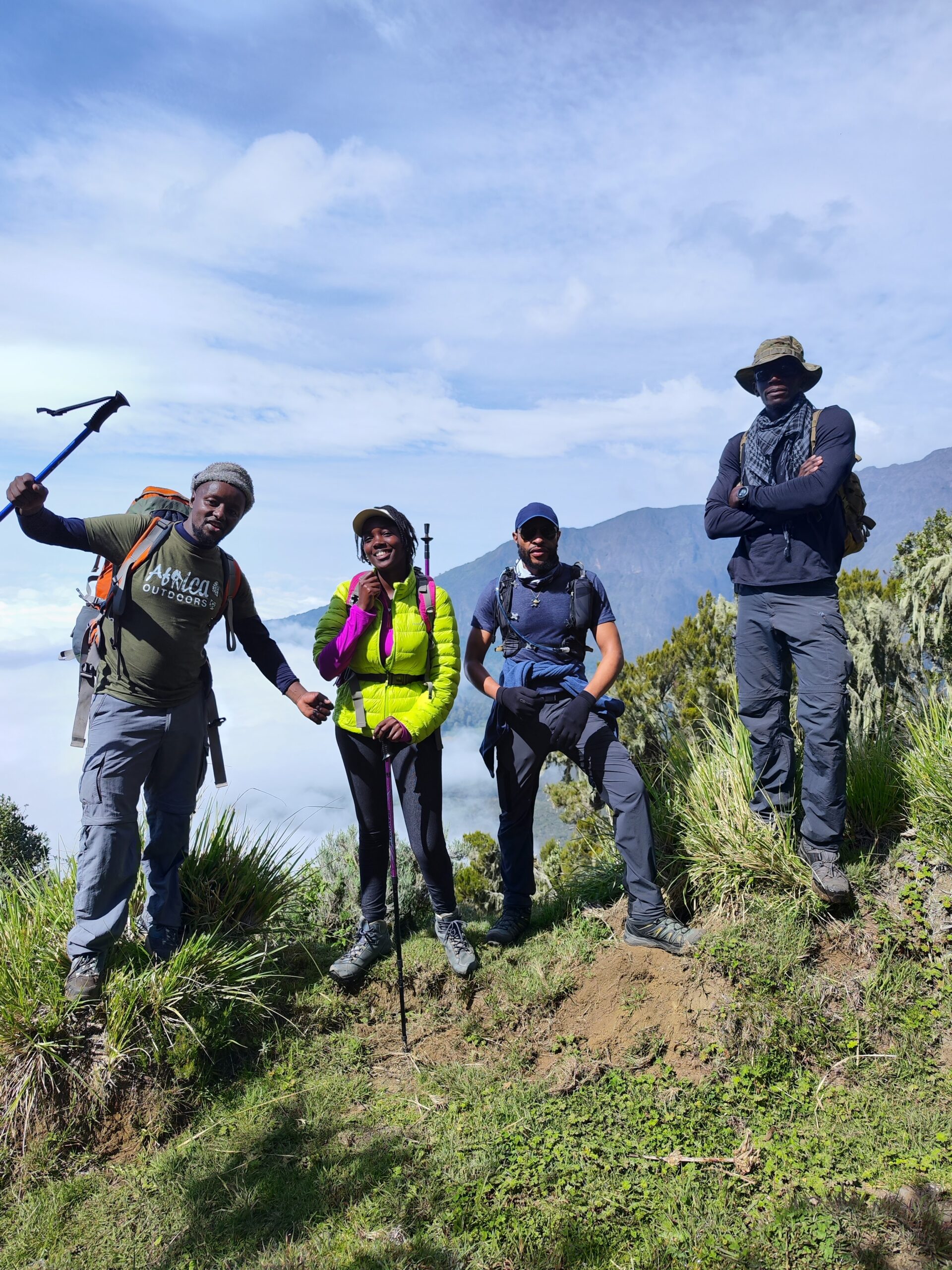
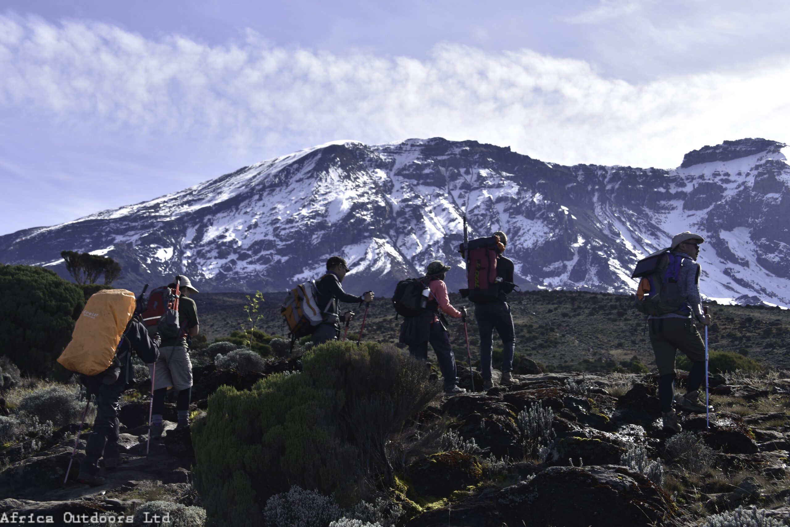
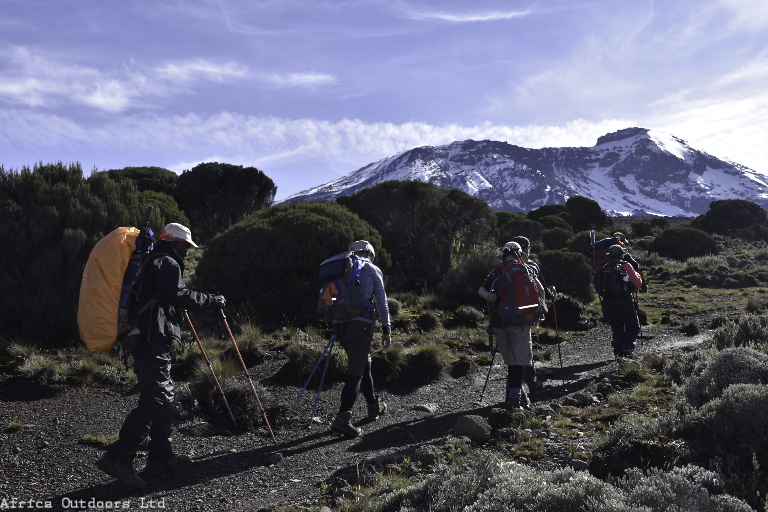
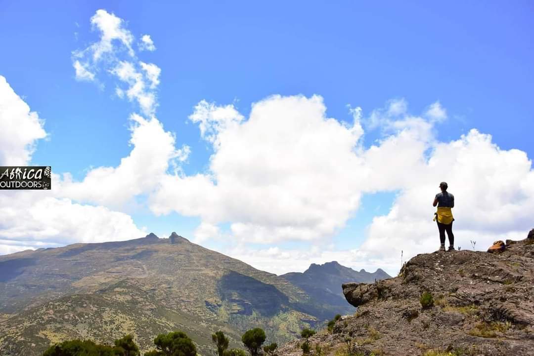
Because of the image of Pokot herders as gun-toting cattle rustlers, the first time you journey up the Sekerr range while climbing up Mt Mtelo in West Pokot, you’d be excused for casting apprehensive glances at every bush, anticipating the rat-a-tat sound of gunshots to burst out at any minute. The native population atop the mountain, the highland Pokot, has conducted peaceful farming for centuries, in stark contrast to this bleak scene. Many first-time visitors to this jewel in a less-traveled region of the country are pleasantly surprised by the mild climate and beautiful vistas of the highlands.
Some lowland Pokot habitation regions have also been changed into a fruit-producing zone, a drastic break from the lowland Pokot community’s traditional lifestyle.
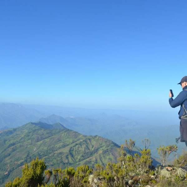
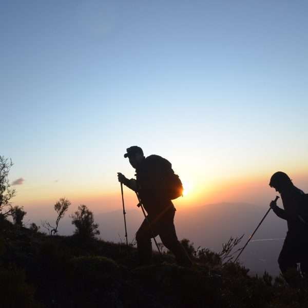
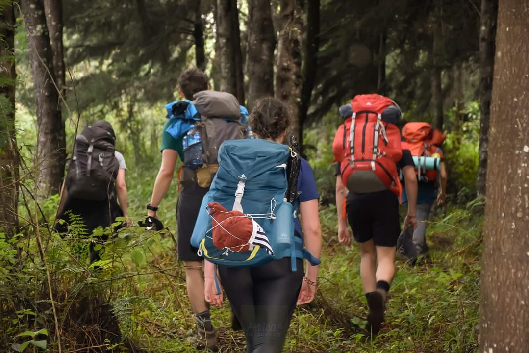
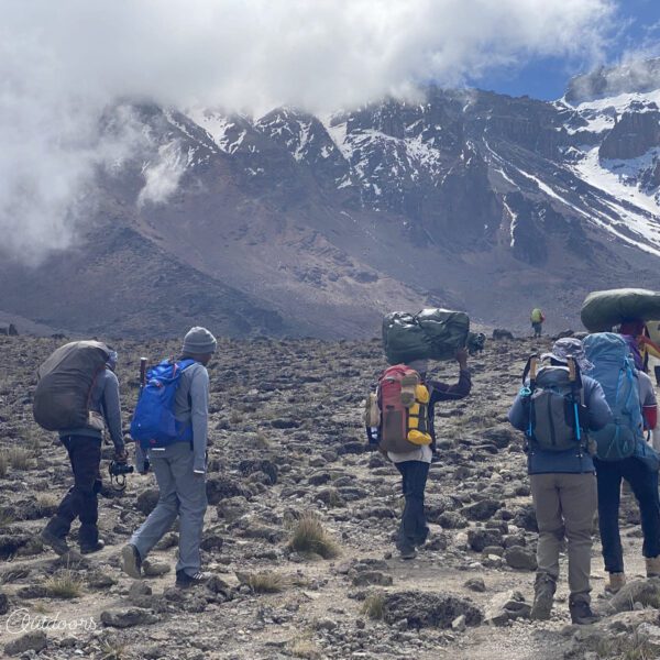
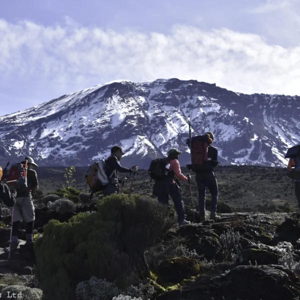
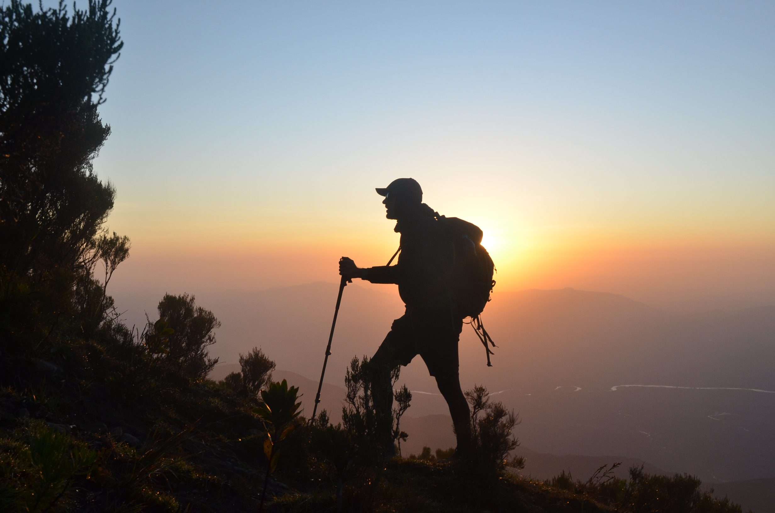
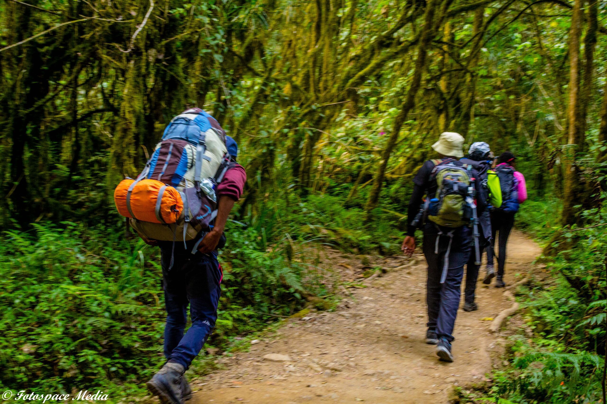
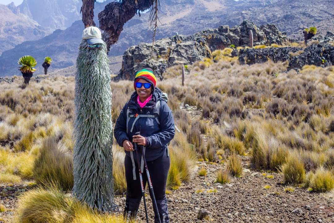
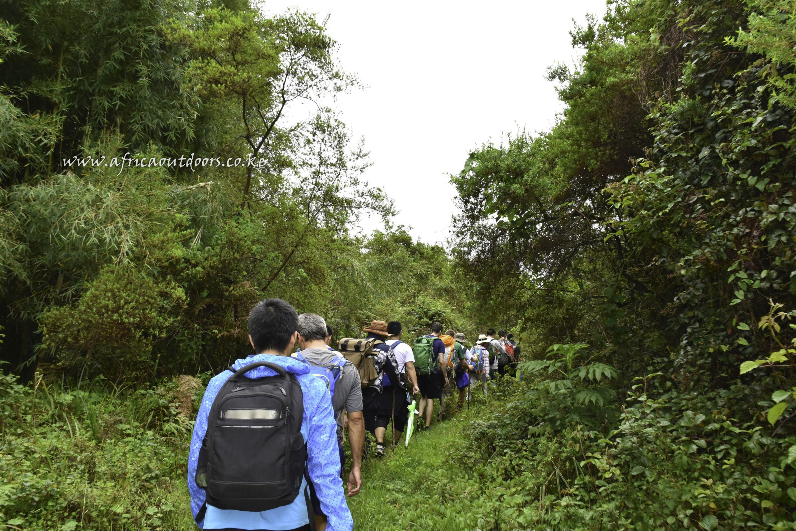
It gives panoramic views of the Turkana plains on one side and the Cherangani Hills on the other. The Marich Pass Field Studies Centre is an excellent starting point for trekking the Sekerr Range’s Mt Mtelo. The journey to the peak and back takes one to two days.
How to Get There
Take Kitale buses from Nairobi’s Machakos country bus station or Kitale matatus from their terminal at the Nairobi Railway station if traveling by public transportation. Take matatus or buses to Makutano once you arrive in Kitale (Kapenguria juction). From here, John Ywalasiwa, the owner of Mt Mtelo View Lodge, can arrange for your transportation to the Marich Pass Field Studies Centre or to his Sekerr Lodge.
If coming from Nairobi, take the upper escarpment’s Nakuru Road via Nakuru, Eldoret, and Kitale until you reach the Marich Pass Field Studies Centre. Take the indicated left turn 2 kilometers later down this road and drive along the “cement rail” to the telecommunication mast, then continue on the dirt track to the T-junction at the Mungat center.
The Lodge will be on your right after a short distance.
The distance between Nairobi and Marich Pass Field Studies Centre is around 480 kilometers
Day Activity Accommodation
1 Drive to Marich Pass/Mt Mtelo eco Lodge
2 Explore Sekerr Range hike, camp Camp/lodge
3 Summit Mt Mtelo, return Camp/lodge
4 Travel Back to Nairobi
Final Tip: The best time to go is during dry seasons (June–September, December–March). Plan well! Let me know if you want tailored transport.
